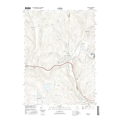
2016 Map of Deposit
USGS Topo · Published 2016About this map
The West Branch Delaware River carves through the landscape of the Broome and Delaware county border, anchoring the village of Deposit. This 2016 survey illustrates a region defined by its hydrography and upland cemeteries. North of the village, Deposit Reservoir and the western edge of Cannonsville Reservoir indicate the modern management of local water resources, while the Delaware River Gorge near Hungry Hollow showcases the area's natural relief. Smaller settlements like McClure, Sanford, and Stilesville are connected by a network of rural roads such as Old State Rte 10 and Cheese Factory Rd. Genealogists will find a high density of burial sites throughout the hills, including Saint Josephs Cem, Oakwood Cem, and the Danville Cem near the southern cluster of Oquaga Lake and Blueberry Lake.
Find a feature on this map
111 named features on this map. Tap any name to fly to it.
Don’t see what you’re looking for? This feature index may not catch every label — zoom into the map to look around manually.
Map Details
Editions of this 2016 Deposit Map
This is the sole edition of this map. No revisions or reprints were ever made.
Other maps of this area

1905 · Nineveh
USGS Topo · 1:62,500

1924 · Starrucca
USGS Topo · 1:48,000

1924 · Deposit
USGS Topo · 1:62,500

1926 · Deposit
USGS Topo · 1:62,500

1926 · Starrucca
USGS Topo · 1:62,500

1930 · Starrucca
USGS Topo · 1:48,000

1932 · Susquehanna
USGS Topo · 1:62,500

1933 · Starrucca
USGS Topo · 1:62,500

1935 · Susquehanna
USGS Topo · 1:62,500

1943 · Honesdale
USGS Topo · 1:125,000