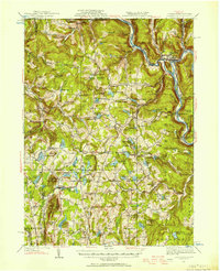
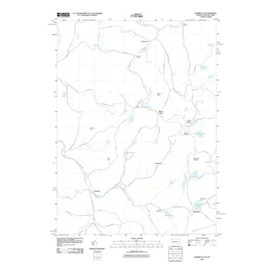
1930 Map of Starrucca
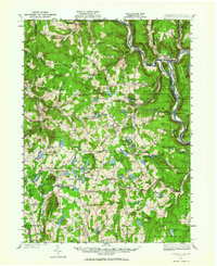
USGS Topo · Published 1956About this map
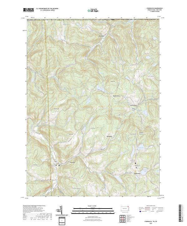
The West Branch Delaware River carves a deep valley through this borderland, where the Erie Railroad and the Delaware & Hudson RR snake alongside the water. The landscape is a complex network of high ridges like Mount Ararat and Sugarloaf Mtn, dotted with numerous glacial lakes and ponds that supported a thriving early 20th-century summer camp culture. Features such as Camp Wayne and Camp Winona appear alongside established rural settlements like Starrucca and Lake Como.
Find a feature on this map
147 named features on this map. Tap any name to fly to it.
Don’t see what you’re looking for? This feature index may not catch every label — zoom into the map to look around manually.
Map Details
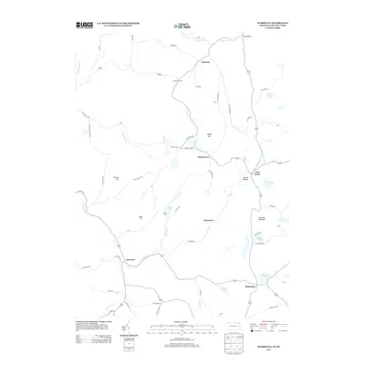
Editions of this 1930 Starrucca Map
3 editions found

Historical Maps of Hancock Through Time
10 maps found

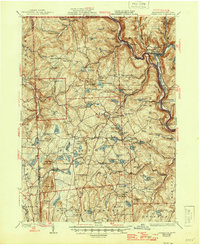
1924 Starrucca
Wayne County, PA

1926 Starrucca
Wayne County, PA
1930 Starrucca
Wayne County, PA
1933 Starrucca
Wayne County, PA
1968 Starrucca
Wayne County, PA
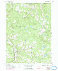
2010 Starrucca
Wayne County, PA
2013 Starrucca
Wayne County, PA
2016 Starrucca
Wayne County, PA
2019 Starrucca
Wayne County, PA
2023 Starrucca
Wayne County, PA