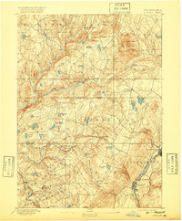
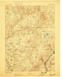
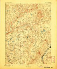
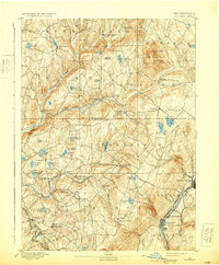
1892 Map of Dundaff
USGS Topo · Published 1920About this map
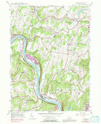
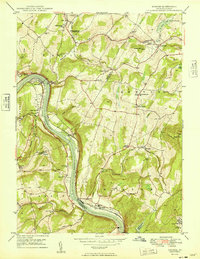
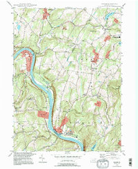
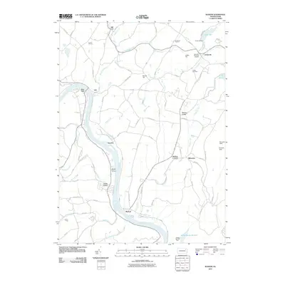
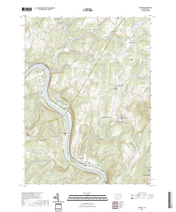
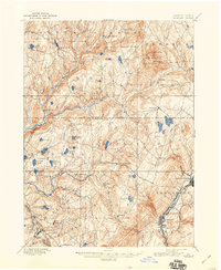
Elk Hill dominates the northeast corner of this northeastern Pennsylvania landscape, where the peaks of North Knob and South Knob rise above the surrounding rural townships of Gibson and Herrick. In the Lackawanna Valley, the industrial character of the era is evident through the corridor of the Delaware & Hudson Canal Co RR and the New York Ontario and Western RR, which connect the urban centers of Carbondale, Mayfield, and Jermyn. The map captures the infrastructure of the coal region just before the turn of the century, including the Powderly works.
Find a feature on this map
72 named features on this map. Tap any name to fly to it.
Don’t see what you’re looking for? This feature index may not catch every label — zoom into the map to look around manually.
Map Details
Editions of this 1892 Dundaff Map
6 editions found

Historical Maps of Carbondale Through Time
9 maps found