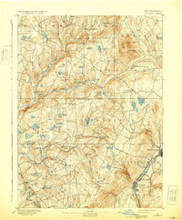
1892 Map of Dundaff
USGS Topo · Published 1931About this map
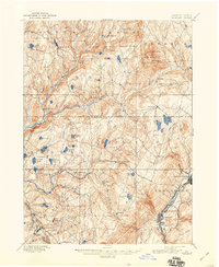
Elk Hill dominates the northeastern terrain of this 1890 survey, rising sharply above the settlement of Dundaff. This landscape, straddling the Susquehanna Lackawanna County Line, reveals a transition from the agricultural plateaus of Benton and Lenox to the industrial intensity of the Lackawanna Valley. In the southeast, the coal-country corridor is well-established, anchored by the Delaware & Hudson Canal Co. RR and the Delaware Lackawanna and Western RR through Jermyn and Mayfield.
Find a feature on this map
77 named features on this map. Tap any name to fly to it.
Don’t see what you’re looking for? This feature index may not catch every label — zoom into the map to look around manually.
Map Details
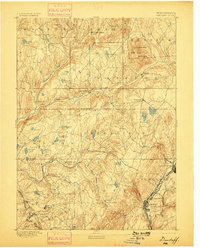
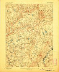
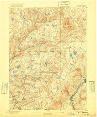
Editions of this 1892 Dundaff Map
6 editions found
Other maps of this area

1889 · Scranton
USGS Topo · 1:62,500

1891 · Scranton
USGS Topo · 1:62,500

1892 · Honesdale
USGS Topo · 1:62,500

1892 · Dundaff
USGS Topo · 1:62,500

1893 · Pittston
USGS Topo · 1:62,500

1893 · Scranton
USGS Topo · 1:62,500

1926 · Starrucca
USGS Topo · 1:62,500

1928 · Ariel
USGS Topo · 1:62,500

1930 · Starrucca
USGS Topo · 1:48,000

1932 · Ariel
USGS Topo · 1:62,500