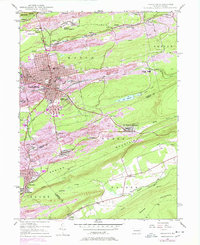
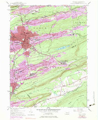
1947 Map of Hazleton
USGS Topo · Published 1978About this map
The anthracite coal heritage of northeastern Pennsylvania is etched into this landscape, where the city of Hazleton and West Hazleton serve as the commercial anchor for a network of mining hamlets. Grounded in a 1947 survey with updates through 1976, the map reveals the dense settlement patterns of the coal region, featuring towns like Lattimer Mines(PO), Beaver Meadows, and Audenried. Large-scale industrial activity is evident in the numerous Strip Mines and extensive rail infrastructure operated by Conrail, connecting major transit points like the Ashmore Yards.
Find a feature on this map
56 named features on this map. Tap any name to fly to it.
Don’t see what you’re looking for? This feature index may not catch every label — zoom into the map to look around manually.
Map Details
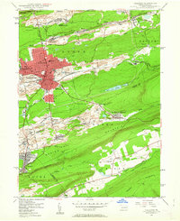
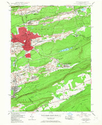
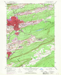
Editions of this 1947 Hazleton Map
5 editions found
Other maps of this area

1889 · Hazleton
USGS Topo · 1:62,500

1891 · Wilkesbarre
USGS Topo · 1:62,500

1891 · Hazleton
USGS Topo · 1:62,500

1892 · Mahanoy
USGS Topo · 1:62,500

1893 · Hazleton
USGS Topo · 1:62,500

1893 · Mahanoy
USGS Topo · 1:62,500

1894 · Shickshinny
USGS Topo · 1:62,500

1894 · Wilkesbarre
USGS Topo · 1:62,500

1943 · Scranton
USGS Topo · 1:125,000

1944 · Newark
USGS Topo · 1:250,000