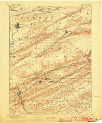
1893 Map of Hazleton
USGS Topo · Published 1903About this map
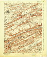
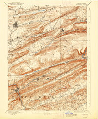
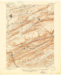
Hazleton serves as the industrial anchor for this coal-country survey, which captures the dense network of anthracite mining settlements and the complex rail infrastructure required to move coal through the mountains. The landscape is defined by the steep ridges of Buck Mountain, Spring Mountain, and the Nesquehoning Mountains, where towns like Summit Hill and Lansford are tied together by a labyrinth of competing rail lines. This includes the Nesquehoning Br. of Central Railroad of N.J. and the unique Up Track and Down Track system servicing the mines along Panther Creek. The map provides a rare view of early company towns like Eckley and Drifton before significant modernization, showing their relationship to the breakers and rail yards that dominated the local economy at the close of the nineteenth century.
Find a feature on this map
63 named features on this map. Tap any name to fly to it.
Don’t see what you’re looking for? This feature index may not catch every label — zoom into the map to look around manually.
Map Details
Editions of this 1893 Hazleton Map
8 editions found
Other maps of this area

1889 · Hazleton
USGS Topo · 1:62,500

1889 · Pottsville
USGS Topo · 1:62,500

1891 · Wilkesbarre
USGS Topo · 1:62,500

1891 · Hazleton
USGS Topo · 1:62,500

1891 · Pottsville
USGS Topo · 1:62,500

1892 · Mahanoy
USGS Topo · 1:62,500

1893 · Hazleton
USGS Topo · 1:62,500

1893 · Mahanoy
USGS Topo · 1:62,500

1894 · Shickshinny
USGS Topo · 1:62,500

1894 · Wilkesbarre
USGS Topo · 1:62,500