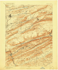
1893 Map of Hazleton
USGS Topo · Published 1915About this map
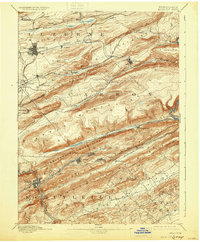
Nesquehoning Mountains and Mauch Chunk Ridge dominate this late 19th-century landscape, framing a corridor of intense industrial development and anthracite coal heritage. The map documents the dense network of rail infrastructure required to move coal out of the mountains, including the Mahanoy Branch of Lehigh Valley and the Nesquehoning Br. of Central Railroad of N. J.. Settlements such as Hazleton, Lansford, and Tamaqua appear during a period of significant growth, their footprints constrained by the surrounding ridges.
Find a feature on this map
56 named features on this map. Tap any name to fly to it.
Don’t see what you’re looking for? This feature index may not catch every label — zoom into the map to look around manually.
Map Details
Editions of this 1893 Hazleton Map
8 editions found
Other maps of this area

1889 · Hazleton
USGS Topo · 1:62,500

1889 · Pottsville
USGS Topo · 1:62,500

1891 · Wilkesbarre
USGS Topo · 1:62,500

1891 · Hazleton
USGS Topo · 1:62,500

1891 · Pottsville
USGS Topo · 1:62,500

1892 · Mahanoy
USGS Topo · 1:62,500

1893 · Hazleton
USGS Topo · 1:62,500

1893 · Mahanoy
USGS Topo · 1:62,500

1894 · Shickshinny
USGS Topo · 1:62,500

1894 · Wilkesbarre
USGS Topo · 1:62,500