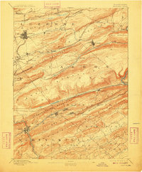
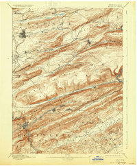
1893 Map of Hazleton
USGS Topo · Published 1910About this map
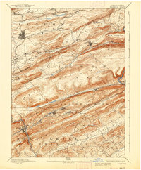
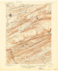
Hazleton stands as the primary industrial hub of this anthracite-rich region, anchoring a landscape where coal extraction and rail transport dictated the layout of every community. In the years following the 1889 survey, the territory between Spring Mountain and the Mauch Chunk Mountains was a maze of competing rail lines, including the Hazleton and Delano Branch of Lehigh Valley Railroad and the Central Railroad of New Jersey. Settlements like Jeddo, Eckley, and Lattimer appear as dense pockets of housing positioned directly adjacent to the workings. The complex topography of Nesquehoning Mountains forced unusual engineering solutions, such as the parallel Up Track and Down Track systems south of Nesquehoning. To the east, the terrain breaks at Glen Onoko, a point where the industry-heavy plateaus give way to the steep drainage of the Lehigh River valley.
Find a feature on this map
66 named features on this map. Tap any name to fly to it.
Don’t see what you’re looking for? This feature index may not catch every label — zoom into the map to look around manually.
Map Details
Editions of this 1893 Hazleton Map
8 editions found
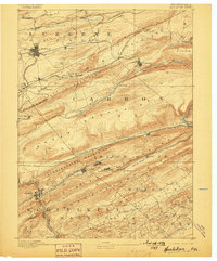
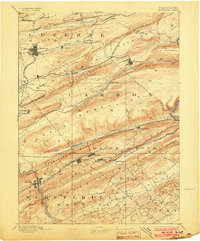
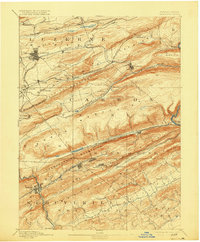
Other maps of this area

1889 · Hazleton
USGS Topo · 1:62,500

1889 · Pottsville
USGS Topo · 1:62,500

1891 · Wilkesbarre
USGS Topo · 1:62,500

1891 · Hazleton
USGS Topo · 1:62,500

1891 · Pottsville
USGS Topo · 1:62,500

1892 · Mahanoy
USGS Topo · 1:62,500

1893 · Hazleton
USGS Topo · 1:62,500

1893 · Mahanoy
USGS Topo · 1:62,500

1894 · Shickshinny
USGS Topo · 1:62,500

1894 · Wilkesbarre
USGS Topo · 1:62,500