2021 Map of Heber
USGS Topo · Published 2021About this map
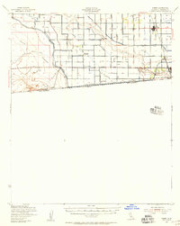
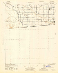
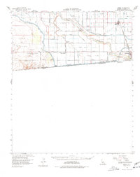
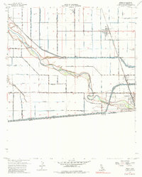
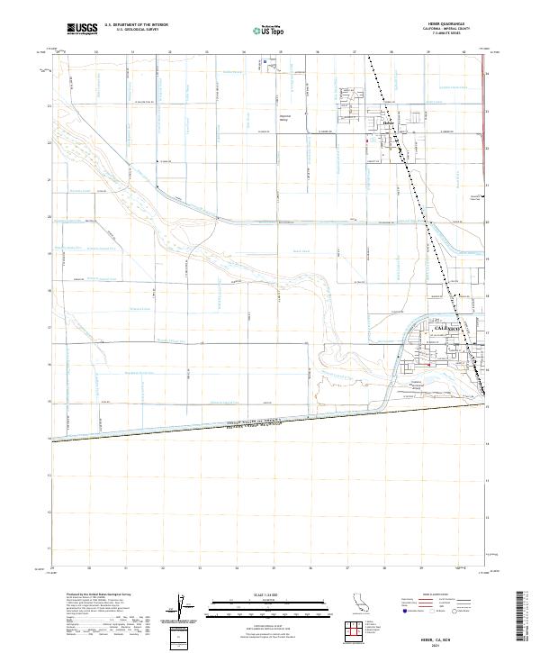
Calexico and Heber anchor this detailed study of the Imperial Valley agricultural landscape, situated immediately north of the United States - Mexico border. The terrain is defined by a sophisticated irrigation network necessary for desert farming, featuring an intricate grid of waterways including the All-American Canal, the Central Main Canal, and the Birch Canal. These man-made features contrast with the natural winding course of the New River as it cuts through the geometric blocks of fields and laterals.
Find a feature on this map
124 named features on this map. Tap any name to fly to it.
Don’t see what you’re looking for? This feature index may not catch every label — zoom into the map to look around manually.
Map Details
Editions of this 2021 Heber Map
This is the sole edition of this map. No revisions or reprints were ever made.
Historical Maps of Calexico Through Time
5 maps found