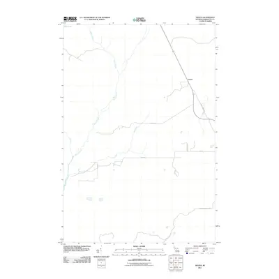
2011 Map of Helena
USGS Topo · Published 2011About this map
Helena serves as the primary focal point of this Upper Peninsula landscape, situated along the eastern corridor where transit routes intersect with the local terrain. The area is defined by a dendritic drainage pattern where Sawmill Creek and Mud Creek wind across the geography, eventually giving way to the waters of Bass Lake in the northwest. This 2011 survey documents a sparsely settled region of Marquette County, where the road network provides evidence of historical land use and early homesteading. Traces of the local economy and family legacy are preserved in the naming of thoroughfares such as Hamilton Homestead Rd and Parker Spur. The map provides a clear look at how modern infrastructure, including County Road Run and Room Rd, follows the natural contours of the Michigan wilderness.
Find a feature on this map
13 named features on this map. Tap any name to fly to it.
Don’t see what you’re looking for? This feature index may not catch every label — zoom into the map to look around manually.
Map Details
Editions of this 2011 Helena Map
This is the sole edition of this map. No revisions or reprints were ever made.
Other maps of this area

1932 · Skandia SW
USGS Topo · 1:31,680

1932 · Rock SW
USGS Topo · 1:31,680

1932 · Helena NW
USGS Topo · 1:31,680

1932 · Helena NE
USGS Topo · 1:31,680

1932 · Harvey SE
USGS Topo · 1:31,680

1932 · Harvey SW
USGS Topo · 1:31,680

1932 · Helena SW
USGS Topo · 1:31,680

1932 · Rock NW
USGS Topo · 1:31,680

1932 · Helena
USGS Topo · 1:31,680

1951 · Helena SW
USGS Topo · 1:31,680