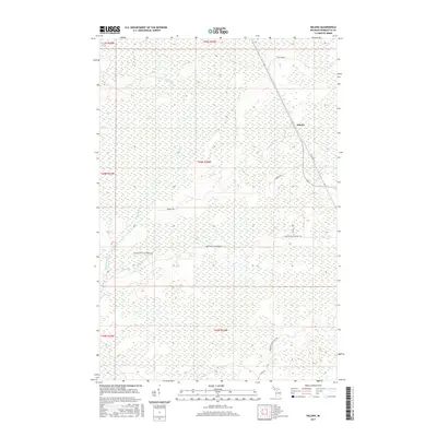
2017 Map of Helena
USGS Topo · Published 2017About this map
Helena sits as the primary focal point of this Marquette County landscape, where the local road network reflects a history of transit and land use. To the north, the presence of the Stack Grade indicates the path of former industrial or logging routes, while named arteries like the Hamilton Homestead Rd suggest the locations of early local families and residences. The terrain is characterized by extensive wetlands and drainage systems, including the broad Cat Swamp and the waters of Ross Lake. A network of creeks, most notably Sawmill Creek and Mud Creek, defines the low-lying areas between the township roads. These features, along with specialized labels like Parker Spr, illustrate a region where water management and timber-grade access have traditionally dictated the pattern of settlement and movement across the township.
Find a feature on this map
20 named features on this map. Tap any name to fly to it.
Don’t see what you’re looking for? This feature index may not catch every label — zoom into the map to look around manually.
Map Details
Editions of this 2017 Helena Map
This is the sole edition of this map. No revisions or reprints were ever made.
Other maps of this area

1932 · Skandia SW
USGS Topo · 1:31,680

1932 · Rock SW
USGS Topo · 1:31,680

1932 · Helena NW
USGS Topo · 1:31,680

1932 · Helena NE
USGS Topo · 1:31,680

1932 · Harvey SE
USGS Topo · 1:31,680

1932 · Harvey SW
USGS Topo · 1:31,680

1932 · Helena SW
USGS Topo · 1:31,680

1932 · Rock NW
USGS Topo · 1:31,680

1932 · Helena
USGS Topo · 1:31,680

1951 · Helena SW
USGS Topo · 1:31,680