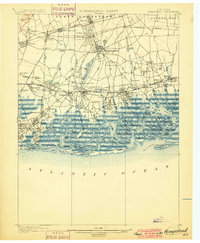
1899 Map of Hempstead
USGS Topo · Published 1899About this map
Hempstead and its surrounding villages occupy a transitional landscape of late-nineteenth-century development, where established townships meet the intricate salt marshes of the South Shore. The map reveals a dense network of early rail infrastructure, including the Long Island R. R. (Montauk Div.) and the Hempstead Branch, which facilitated the growth of suburban enclaves like Garden City and Mineola. These transportation lines contrast with the largely unsettled barrier beaches and tidal inlets to the south.
Find a feature on this map
119 named features on this map. Tap any name to fly to it.
Don’t see what you’re looking for? This feature index may not catch every label — zoom into the map to look around manually.
Map Details
Editions of this 1899 Hempstead Map
This is the sole edition of this map. No revisions or reprints were ever made.
Other maps of this area
1889 · Brooklyn
USGS Topo · 1:62,500
1891 · Brooklyn
USGS Topo · 1:62,500

1891 · Harlem
USGS Topo · 1:62,500

1897 · Harlem
USGS Topo · 1:62,500
1897 · Brooklyn
USGS Topo · 1:62,500
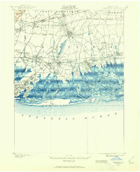
1897 · Hempstead
USGS Topo · 1:62,500

1897 · Oyster Bay
USGS Topo · 1:62,500

1898 · Harlem
USGS Topo · 1:62,500
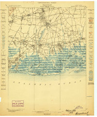
1898 · Hempstead
USGS Topo · 1:62,500
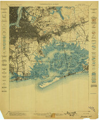
1898 · Brooklyn
USGS Topo · 1:62,500