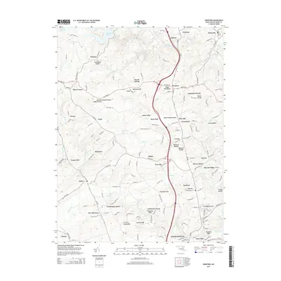
2014 Map of Hereford
USGS Topo · Published 2014About this map
Gunpowder Falls carves a deep path through the Maryland countryside, anchoring a landscape where historical estate names and modern suburban development converge. This area of Baltimore County is defined by its massive water management infrastructure, most notably the southern reaches of the Prettyboy Reservoir and the headwaters of the Loch Raven Reservoir. The settlement pattern reveals a transition from traditional farming communities like Butler and Hereford to sprawling residential developments with legacy names such as Worthington Manor, Glencoe Manor, and Lambourne Downs. The topography is marked by numerous drainage runs, including Bush Cabin Run and Blackrock Run, which historically dictated the winding path of local transit routes like York Road and Mt Carmel Road.
Find a feature on this map
126 named features on this map. Tap any name to fly to it.
Don’t see what you’re looking for? This feature index may not catch every label — zoom into the map to look around manually.
Map Details
Editions of this 2014 Hereford Map
This is the sole edition of this map. No revisions or reprints were ever made.
Other maps of this area

1892 · Ellicott
USGS Topo · 1:62,500

1894 · Ellicott
USGS Topo · 1:62,500

1894 · Baltimore
USGS Topo · 1:62,500

1899 · Baltimore
USGS Topo · 1:62,500

1900 · Parkton
USGS Topo · 1:62,500

1902 · Parkton
USGS Topo · 1:62,500

1904 · Baltimore
USGS Topo · 1:62,500

1905 · Westminster
USGS Topo · 1:62,500

1906 · Ellicott
USGS Topo · 1:62,500

1908 · Patapsco
USGS Topo · 1:125,000