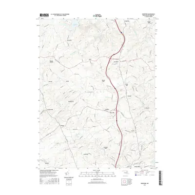
2016 Map of Hereford
USGS Topo · Published 2016About this map
Gunpowder Falls carves through the central Baltimore County landscape, anchoring a region of interconnected rural hamlets and major water resources. In the north, the Prettyboy Reservoir dominates the terrain, while the southern edge of the survey reaches the Loch Raven Reservoir near Hunt Valley. The map details a complex network of 21st-century residential and agricultural patterns, with the commercial corridor of York Rd passing through Hereford and Priceville. This 2016 record illustrates how long-established community centers like White Hall, Butler, and Sparks persist alongside modern infrastructure. The topography is defined by significant drainage basins including Bush Cabin Run, Buffalo Cr, and Western Run, which dictate the winding paths of rural routes like Mount Carmel Rd and Belfast Rd.
Find a feature on this map
130 named features on this map. Tap any name to fly to it.
Don’t see what you’re looking for? This feature index may not catch every label — zoom into the map to look around manually.
Map Details
Editions of this 2016 Hereford Map
This is the sole edition of this map. No revisions or reprints were ever made.
Other maps of this area

1892 · Ellicott
USGS Topo · 1:62,500

1894 · Ellicott
USGS Topo · 1:62,500

1894 · Baltimore
USGS Topo · 1:62,500

1899 · Baltimore
USGS Topo · 1:62,500

1900 · Parkton
USGS Topo · 1:62,500

1902 · Parkton
USGS Topo · 1:62,500

1904 · Baltimore
USGS Topo · 1:62,500

1905 · Westminster
USGS Topo · 1:62,500

1906 · Ellicott
USGS Topo · 1:62,500

1908 · Patapsco
USGS Topo · 1:125,000