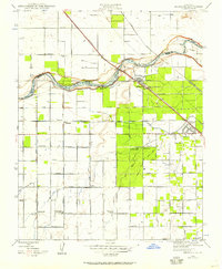
1946 Map of Herndon
USGS Topo · Published 1957About this map
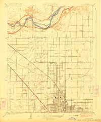
The San Joaquin River carves a winding boundary between Madera and Fresno counties, anchoring a landscape defined by 1940s agriculture and irrigation. This era shows a complex network of water management, with the Herndon Canal, Pacific Ditch, and Flume Canal feeding the surrounding acreage. The settlement of Herndon sits at a critical junction where the Southern Pacific railroad crosses the river, while the Atchison Topeka and Santa Fe line cuts diagonally toward Highway City.
Find a feature on this map
39 named features on this map. Tap any name to fly to it.
Don’t see what you’re looking for? This feature index may not catch every label — zoom into the map to look around manually.
Map Details
Editions of this 1946 Herndon Map
This is the sole edition of this map. No revisions or reprints were ever made.
Other maps of this area

1921 · Bullard
USGS Topo · 1:31,680

1922 · Lanes Bridge
USGS Topo · 1:31,680

1922 · Gregg
USGS Topo · 1:31,680
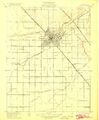
1922 · Madera
USGS Topo · 1:31,680

1923 · Kearney Park
USGS Topo · 1:31,680

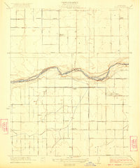
1923 · Herndon
USGS Topo · 1:31,680
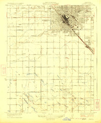
1923 · Fresno
USGS Topo · 1:31,680
1923 · Biola
USGS Topo · 1:31,680
1923 · Bullard
USGS Topo · 1:31,680
1946 · Fresno South
USGS Topo · 1:24,000