Loading...
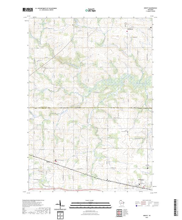
Loading map...2023 Map of Hewitt
USGS Topo · Published 2023About this map
The Marathon Co Wood Co boundary line bisects this central Wisconsin landscape, dividing the rural townships and farmsteads surrounding Hewitt and Rozellville. The terrain is defined by the winding course of the Little Eau Pleine River in the north and the drainage systems of McMillan Creek and Wild Creek. These watercourses influence the grid-like road network, where long stretches of Co Rd M and Staad Ave N connect isolated agricultural hubs.
Find a feature on this map
66 named features on this map. Tap any name to fly to it.
Don’t see what you’re looking for? This feature index may not catch every label — zoom into the map to look around manually.
Map Details
Date Portrayed2023
Date Published2023
PublisherU.S. Geological Survey
Map TypeTopographic
Scale1:24000
Physical Dimensions24 x 29 inches
Editions of this 2023 Hewitt Map
This is the sole edition of this map. No revisions or reprints were ever made.
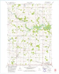
Historical Maps of Marshfield Through Time
Featured Locations
Source Details
SourceU.S. Geological Survey
CopyrightPublic Domain