Loading...
Loading map...2021 Map of Higbee
USGS Topo · Published 2021About this map
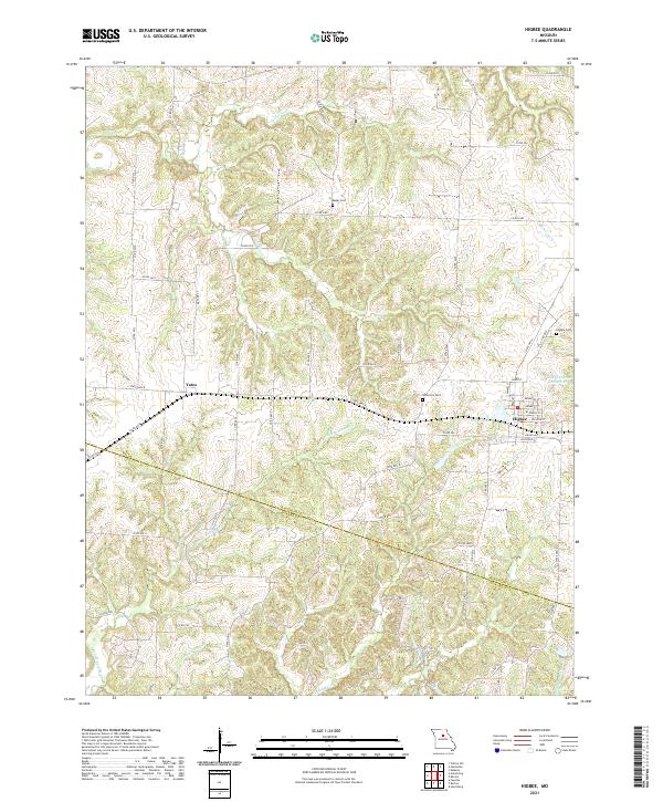
Higbee serves as the primary hub of this landscape, situated along the eastern edge where the terrain shifts toward the Salt Fork. The map documents a rural Missouri environment where the Randolph Co and Howard Co line divides agricultural lands and creek bottoms. Significant local water resources are captured here, including the City of Higbee Reservoir and Higbee Lake, which anchor the local geography just west of the town center.
Find a feature on this map
67 named features on this map. Tap any name to fly to it.
Don’t see what you’re looking for? This feature index may not catch every label — zoom into the map to look around manually.
Map Details
Date Portrayed2021
Date Published2021
PublisherU.S. Geological Survey
Map TypeTopographic
Scale1:24000
Physical Dimensions24 x 29 inches
Editions of this 2021 Higbee Map
This is the sole edition of this map. No revisions or reprints were ever made.
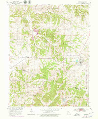
Historical Maps of Yates Through Time
Featured Locations
Source Details
SourceU.S. Geological Survey
CopyrightPublic Domain