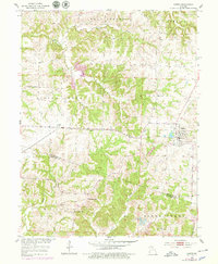
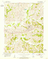
1953 Map of Higbee
USGS Topo · Published 1979About this map
The railroad junction at Higbee serves as the primary hub of this mid-century central Missouri landscape, where the Gulf Mobile and Ohio and the Missouri-Kansas-Texas Railroad intersect. This area, spanning the border of Randolph and Howard Counties, reflects a rural economy transitioning between agriculture and extraction, evidenced by several Mine Dumps and a Strip Mine located near the town center. The surrounding countryside is dotted with small rural landmarks essential for genealogical research, including the Mt Ararat Ch and the Pemberton Sch. Natural drainage is defined by the winding course of the Silver Fork and Salt Fork, which carve through the Prairie and Silver Creek terrain. Numerous family-named burial grounds like Bagby Cem and Whitmore Cem are preserved across the sections, offering a clear record of local settlement patterns before late-twentieth-century changes.
Find a feature on this map
32 named features on this map. Tap any name to fly to it.
Don’t see what you’re looking for? This feature index may not catch every label — zoom into the map to look around manually.
Map Details
Editions of this 1953 Higbee Map
2 editions found
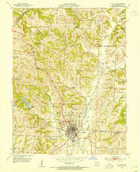
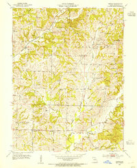
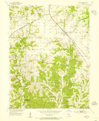
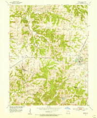
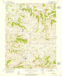
Other maps of this area

1890 · Moberly
USGS Topo · 1:125,000

1890 · Glasgow
USGS Topo · 1:125,000

1917 · Sturgeon
USGS Topo · 1:62,500

1953 · Moberly
USGS Topo · 1:250,000
1953 · Fayette
USGS Topo · 1:24,000
1953 · Burton
USGS Topo · 1:24,000
1953 · Renick
USGS Topo · 1:24,000
1953 · Huntsville
USGS Topo · 1:24,000
1953 · Higbee
USGS Topo · 1:24,000
1953 · Armstrong
USGS Topo · 1:24,000