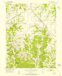
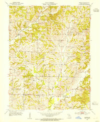
1953 Map of Renick
USGS Topo · Published 1955About this map
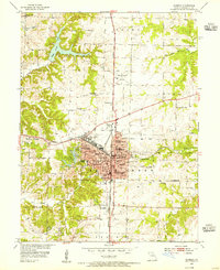
The town of Renick serves as the central hub of this mid-century Missouri landscape, where the Wabash railroad cuts a diagonal line across the high ground of Moniteau Prairie. The mapping reveals a rural economy transitioning between eras, evidenced by the scattered Mine Dumps indicating past extraction and the label for the Wilson Sch, noted here as abandoned. Small family settlements and rail stops like Harkes and Ryder are documented alongside a network of country burial grounds including Anderson Cem, Davis Cem, and Tanton Cem. The southern portion of the quadrangle descends from the prairie into more complex drainage patterns formed by Perche Creek and Little Perche Creek, with Fairview Ch standing near the Howard County line. This 1953 survey captures the area just as the traditional rural school system was consolidating and the landscape was being redefined by the Gulf Mobile and Ohio rail corridor.
Find a feature on this map
31 named features on this map. Tap any name to fly to it.
Don’t see what you’re looking for? This feature index may not catch every label — zoom into the map to look around manually.
Map Details
Editions of this 1953 Renick Map
3 editions found
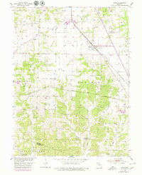
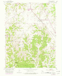
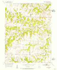
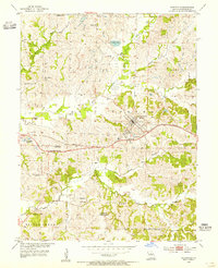
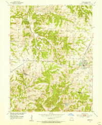
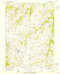
Other maps of this area

1890 · Moberly
USGS Topo · 1:125,000

1890 · Glasgow
USGS Topo · 1:125,000

1917 · Sturgeon
USGS Topo · 1:62,500
1952 · Middle Grove
USGS Topo · 1:24,000

1953 · Moberly
USGS Topo · 1:250,000
1953 · Burton
USGS Topo · 1:24,000
1953 · Huntsville
USGS Topo · 1:24,000
1953 · Higbee
USGS Topo · 1:24,000
1953 · Clark
USGS Topo · 1:24,000
1953 · Moberly
USGS Topo · 1:24,000