
1953 Map of Clark
USGS Topo · Published 1955About this map
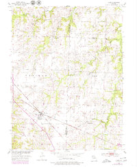
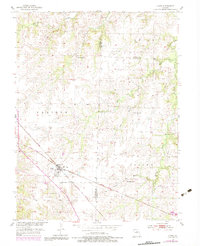
The settlement of Clark serves as a central hub in this mid-century portrait of north-central Missouri, where the convergence of the Wabash and Gulf Mobile and Ohio railroads dictates the local geography. The landscape transitions from open prairie to dissected stream valleys, with Galbreath Creek and Saling Creek carving through the terrain. This survey captures a rural social fabric built around small local institutions, including the Macedonia Sch and Mt Pisgah Sch, alongside several country churches and the Chapel Grove Cem.
Find a feature on this map
22 named features on this map. Tap any name to fly to it.
Don’t see what you’re looking for? This feature index may not catch every label — zoom into the map to look around manually.
Map Details
Editions of this 1953 Clark Map
3 editions found
Other maps of this area

1890 · Moberly
USGS Topo · 1:125,000

1917 · Sturgeon
USGS Topo · 1:62,500

1945 · Centralia
USGS Topo · 1:62,500

1952 · Middle Grove
USGS Topo · 1:24,000

1953 · Moberly
USGS Topo · 1:250,000

1953 · Renick
USGS Topo · 1:24,000
1953 · Moberly
USGS Topo · 1:24,000

1954 · Moberly
USGS Topo · 1:250,000

1957 · Moberly
USGS Topo · 1:250,000

1958 · Tulip
USGS Topo · 1:24,000