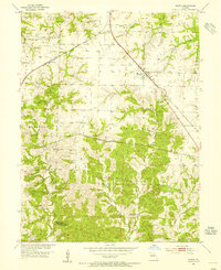
1953 Map of Renick
USGS Topo · Published 1979About this map
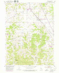
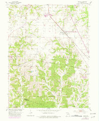
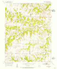
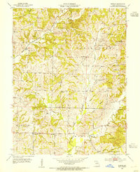
The railroad junction at Renick serves as the focal point for this mid-century look at the landscape bordering Randolph and Howard counties. The coal industry's footprint is evident through numerous Mine Dumps scattered near the Norfolk and Western Railroad, while the agricultural character of the Moniteau Prairie remains intact. Small settlements like Harkes and Ryder appear along the rail lines, representing the transit-oriented development of the era.
Find a feature on this map
26 named features on this map. Tap any name to fly to it.
Don’t see what you’re looking for? This feature index may not catch every label — zoom into the map to look around manually.
Map Details
Editions of this 1953 Renick Map
3 editions found
Other maps of this area

1890 · Moberly
USGS Topo · 1:125,000

1890 · Glasgow
USGS Topo · 1:125,000

1917 · Sturgeon
USGS Topo · 1:62,500
1952 · Middle Grove
USGS Topo · 1:24,000

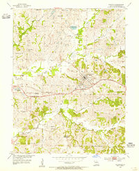
1953 · Moberly
USGS Topo · 1:250,000
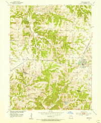
1953 · Burton
USGS Topo · 1:24,000
1953 · Renick
USGS Topo · 1:24,000
1953 · Huntsville
USGS Topo · 1:24,000
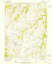
1953 · Higbee
USGS Topo · 1:24,000
1953 · Clark
USGS Topo · 1:24,000