
1953 Map of Fayette
USGS Topo · Published 1954About this map
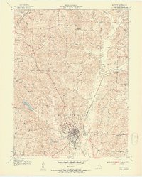
Central College and the Morrison Observatory serve as the intellectual anchors for Fayette during this post-war period. The landscape is a detailed mosaic of rural education and ancestry, marked by several decommissioned institutions such as Washington Sch and Deatherege Sch, alongside active ones like Gold Dust Sch and Lebanon Sch. This network of small schoolhouses across the Richmond and Prairie townships reflects a transition in rural Missouri's social structure as communities consolidated.
Find a feature on this map
47 named features on this map. Tap any name to fly to it.
Don’t see what you’re looking for? This feature index may not catch every label — zoom into the map to look around manually.
Map Details
Editions of this 1953 Fayette Map
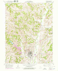
3 editions found
Other maps of this area

1890 · Glasgow
USGS Topo · 1:125,000

1947 · Glasgow
USGS Topo · 1:62,500

1952 · New Franklin
USGS Topo · 1:24,000

1952 · Hilldale
USGS Topo · 1:24,000

1953 · Moberly
USGS Topo · 1:250,000

1953 · Burton
USGS Topo · 1:24,000

1953 · Higbee
USGS Topo · 1:24,000

1953 · Armstrong
USGS Topo · 1:24,000

1954 · Moberly
USGS Topo · 1:250,000
1956 · Forest Green
USGS Topo · 1:24,000