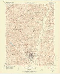
1953 Map of Fayette
USGS Topo · Published 1954About this map
The county seat of Fayette serves as the focal point of this mid-century Missouri landscape, where the campus of Central College and the Morrison Observatory mark the town's cultural center. This 1953 survey records a transitional period for Howard County's rural infrastructure, noting several decommissioned local landmarks such as Washington Sch and Sweetnam Sch. The town is bounded by the Gulf Mobile and Ohio railroad line to the west and the winding course of Bonne Femme Creek to the east.
Find a feature on this map
54 named features on this map. Tap any name to fly to it.
Don’t see what you’re looking for? This feature index may not catch every label — zoom into the map to look around manually.
Map Details
Editions of this 1953 Fayette Map
3 editions found
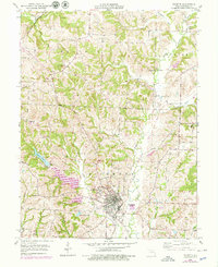
Other maps of this area

1890 · Glasgow
USGS Topo · 1:125,000

1947 · Glasgow
USGS Topo · 1:62,500

1952 · New Franklin
USGS Topo · 1:24,000

1952 · Hilldale
USGS Topo · 1:24,000

1953 · Moberly
USGS Topo · 1:250,000

1953 · Fayette
USGS Topo · 1:24,000

1953 · Burton
USGS Topo · 1:24,000

1953 · Higbee
USGS Topo · 1:24,000

1953 · Armstrong
USGS Topo · 1:24,000

1954 · Moberly
USGS Topo · 1:250,000