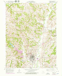
1953 Map of Fayette
USGS Topo · Published 1979About this map
Central College and the Morrison Observatory anchor the community of Fayette, reflecting a deep educational and scientific history in the heart of Howard County. This mid-century landscape is defined by the winding course of Bonne Femme Creek and a network of rural schools and family burial grounds that speak to a stable, agriculture-based society. Notable landmarks such as the Golf Club and Fayette Lake show the intersection of town life and recreation, while the Gulf Mobile and Ohio tracks and a clearly marked Old Railroad Grade illustrate the shifting patterns of regional transportation.
Find a feature on this map
72 named features on this map. Tap any name to fly to it.
Don’t see what you’re looking for? This feature index may not catch every label — zoom into the map to look around manually.
Map Details
Editions of this 1953 Fayette Map
3 editions found
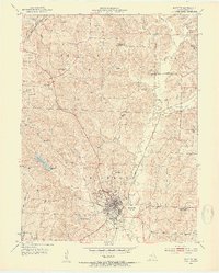
Other maps of this area

1890 · Glasgow
USGS Topo · 1:125,000

1947 · Glasgow
USGS Topo · 1:62,500

1952 · New Franklin
USGS Topo · 1:24,000

1952 · Hilldale
USGS Topo · 1:24,000

1953 · Moberly
USGS Topo · 1:250,000

1953 · Fayette
USGS Topo · 1:24,000

1953 · Burton
USGS Topo · 1:24,000

1953 · Higbee
USGS Topo · 1:24,000

1953 · Armstrong
USGS Topo · 1:24,000

1954 · Moberly
USGS Topo · 1:250,000