2024 Map of Hilger
USGS Topo · Published 2024About this map
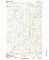
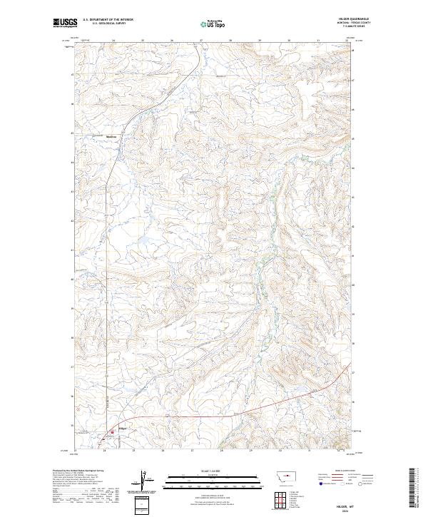
The community of Hilger serves as a focal point in this section of Fergus County, where local roads like Maiden Cutoff and N Kendall Rd converge near Main St. To the north, the small settlement of Moulton is positioned along the primary route of Winifred Rd, which tracks across the township lines of T19N R18E and T18N R18E. The landscape is defined by the drainage systems of Dog Creek and Deer Creek, which are supplemented by the smaller tributaries of Little Dog Creek and Little Deer Creek.
Find a feature on this map
23 named features on this map. Tap any name to fly to it.
Don’t see what you’re looking for? This feature index may not catch every label — zoom into the map to look around manually.
Map Details
Editions of this 2024 Hilger Map
This is the sole edition of this map. No revisions or reprints were ever made.