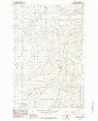
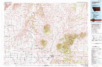
1985 Map of Hilger
USGS Topo · Published 1985About this map
The settlement of Hilger sits at the southern base of a terrain defined by a network of drainage systems in Fergus County. Established during a period of ranching and railway expansion, the area is characterized by the branching paths of Dog Creek and Little Dog Creek to the west, while Deer Creek and its tributary Little Deer Creek carve through the eastern portion of the quadrangle. Small hubs like Moulton and Roy Junction appear as key points of reference within this landscape of high plains and coulees. The map, based on late 1970s field work, captures the rural infrastructure of central Montana, showing how roads and watercourses like Bull Creek dictated the placement of small communities and homesteads in a region where water and transport were the primary drivers of growth.
Find a feature on this map
8 named features on this map. Tap any name to fly to it.
Don’t see what you’re looking for? This feature index may not catch every label — zoom into the map to look around manually.
Map Details
Editions of this 1985 Hilger Map
This is the sole edition of this map. No revisions or reprints were ever made.
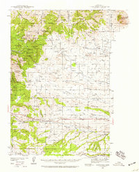
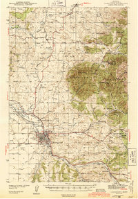
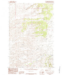
Other maps of this area
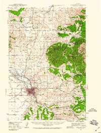
1941 · Lewistown
USGS Topo · 1:62,500
1941 · Judith Peak
USGS Topo · 1:62,500
1944 · Lewistown
USGS Topo · 1:62,500

1944 · Judith Peak
USGS Topo · 1:62,500

1954 · Lewistown
USGS Topo · 1:250,000

1959 · Lewistown
USGS Topo · 1:250,000
1978 · Lewistown
USGS Topo · 1:100,000
1985 · The Horse Ranch
USGS Topo · 1:24,000
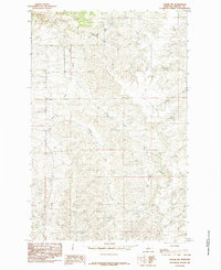
1985 · Hilger NW
USGS Topo · 1:24,000
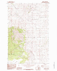
1985 · Kendall
USGS Topo · 1:24,000