
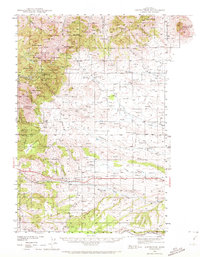
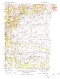
1941 Map of Judith Peak
USGS Topo · Published 1959About this map
Judith Peak and the surrounding heights of the North Moccasin and Judith Mountains define this mid-century landscape of heavy mineral extraction. Surveyed in 1941, the map documents a transition from active industry to historical preservation, marked by numerous inactive workings such as the Spotted Horse Mine, Maginnis Mine, and Cumberland Mine. These mines, clustered near the settlements of Maiden and Giltedge, reflect the region's late-19th-century gold boom and subsequent decline.
Find a feature on this map
44 named features on this map. Tap any name to fly to it.
Don’t see what you’re looking for? This feature index may not catch every label — zoom into the map to look around manually.
Map Details
Editions of this 1941 Judith Peak Map
3 editions found
Other maps of this area

1889 · Big Snowy Mountain
USGS Topo · 1:250,000

1893 · Big Snowy Mountain
USGS Topo · 1:250,000

1941 · Lewistown
USGS Topo · 1:62,500

1944 · Lewistown
USGS Topo · 1:62,500

1944 · Judith Peak
USGS Topo · 1:62,500

1954 · Roundup
USGS Topo · 1:250,000

1954 · Lewistown
USGS Topo · 1:250,000

1958 · Roundup
USGS Topo · 1:250,000

1959 · Lewistown
USGS Topo · 1:250,000

1970 · Forestgrove
USGS Topo · 1:24,000