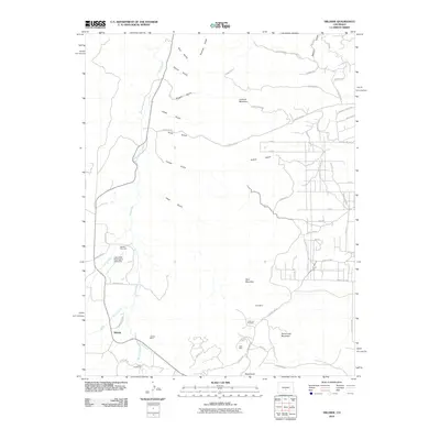
2010 Map of Hillside
USGS Topo · Published 2010About this map
Texas Creek carves a central path through this Fremont County landscape, where the settlement of Hillside serves as a focal point for local history. This 2010 survey documents a rugged ranching and mining region, marked by the presence of the Hillside Cemetery and the specialized Lake Creek Soaringport Gliderport near the banks of Lake Creek. The area's extraction history is visible through scattered operations like the Gem Mine, Niles Mine, and the Letha Lee Prospect, all situated near the prominent heights of Democratic Mountain. The terrain is deeply articulated by numerous gulches, including Rito Gulch and Sawmill Gulch, while a network of rural routes such as County Rd-28 and Copper Gulch Rd provide access to outlying properties like the Trails End Ranch. This map reflects the contemporary landscape of south-central Colorado, balancing recreational aviation and modern homesteading with the legacy of its mineral prospects.
Find a feature on this map
62 named features on this map. Tap any name to fly to it.
Don’t see what you’re looking for? This feature index may not catch every label — zoom into the map to look around manually.
Map Details
Editions of this 2010 Hillside Map
This is the sole edition of this map. No revisions or reprints were ever made.
Other maps of this area

1889 · Canon City
USGS Topo · 1:125,000

1892 · Canon City
USGS Topo · 1:125,000

1954 · Pueblo
USGS Topo · 1:250,000

1955 · Westcliffe
USGS Topo · 1:24,000

1957 · Pueblo
USGS Topo · 1:250,000

1958 · Pueblo
USGS Topo · 1:250,000

1958 · Beckwith Mountain
USGS Topo · 1:24,000

1959 · Electric Peak
USGS Topo · 1:62,500

1959 · Royal Gorge
USGS Topo · 1:62,500

1959 · Cotopaxi
USGS Topo · 1:62,500