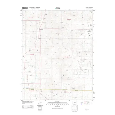
2013 Map of Hillside
USGS Topo · Published 2013About this map
Hillside sits at the junction of Co-69 and CO Road 1A, marking a transitional point where the valley floor meets the high peaks of the Sangre de Cristo range. This 2013 survey details the complex drainage systems that define the area, including Texas Cr and numerous named gulches like Back Door Gulch, Likely Gulch, and Turkey Gulch. The landscape is dominated by significant elevations such as Lookout Mountain, Gem Mountain, and Democratic Mountain, while the human footprint is seen in scattered ranching operations like the Trails End Ranch. Local aviation is represented by the Lake Creek Ranch Airport, and the Hillside Cem provides a point of interest for genealogists tracing early families. The border between Fremont Co and Custer Co bisects the southern portion of the quadrangle near the Hook Reservoir.
Find a feature on this map
86 named features on this map. Tap any name to fly to it.
Don’t see what you’re looking for? This feature index may not catch every label — zoom into the map to look around manually.
Map Details
Editions of this 2013 Hillside Map
This is the sole edition of this map. No revisions or reprints were ever made.
Other maps of this area

1889 · Canon City
USGS Topo · 1:125,000

1892 · Canon City
USGS Topo · 1:125,000

1954 · Pueblo
USGS Topo · 1:250,000

1955 · Westcliffe
USGS Topo · 1:24,000

1957 · Pueblo
USGS Topo · 1:250,000

1958 · Pueblo
USGS Topo · 1:250,000

1958 · Beckwith Mountain
USGS Topo · 1:24,000

1959 · Electric Peak
USGS Topo · 1:62,500

1959 · Royal Gorge
USGS Topo · 1:62,500

1959 · Cotopaxi
USGS Topo · 1:62,500