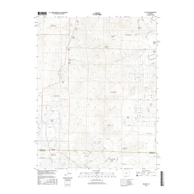
2016 Map of Hillside
USGS Topo · Published 2016About this map
Hillside sits along the southern edge of this Fremont and Custer County boundary, serving as a primary settlement point in a landscape defined by high peaks and narrow drainage systems. The settlement is anchored by local landmarks such as Hillside Cem and the Lake Creek Ranch Airport. The topography is dominated by several significant elevations, including Lookout Mtn, Gem Mtn, and Democratic Mtn, which overlook a complex network of gulches and creeks. Key water features like Texas Cr, Lake Cr, and the Hook Reservoir provide the hydraulic lifeblood for the area's ranches. A dense grid of local and county roads, such as Co RD 1a and Brush Creek Loop Rd, illustrates the modern access patterns into the surrounding high country of Indian Springs Park.
Find a feature on this map
96 named features on this map. Tap any name to fly to it.
Don’t see what you’re looking for? This feature index may not catch every label — zoom into the map to look around manually.
Map Details
Editions of this 2016 Hillside Map
This is the sole edition of this map. No revisions or reprints were ever made.
Other maps of this area

1889 · Canon City
USGS Topo · 1:125,000

1892 · Canon City
USGS Topo · 1:125,000

1954 · Pueblo
USGS Topo · 1:250,000

1955 · Westcliffe
USGS Topo · 1:24,000

1957 · Pueblo
USGS Topo · 1:250,000

1958 · Pueblo
USGS Topo · 1:250,000

1958 · Beckwith Mountain
USGS Topo · 1:24,000

1959 · Electric Peak
USGS Topo · 1:62,500

1959 · Royal Gorge
USGS Topo · 1:62,500

1959 · Cotopaxi
USGS Topo · 1:62,500