
1945 Map of Hilton Head
USGS Topo · Published 1945About this map
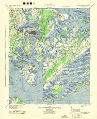
Hilton Head Island appears here as a quiet maritime landscape just after the war, years before its modern development as a resort destination. The northern end of the island is dotted with community landmarks that serve as vital records for genealogists, including First Africian Ch, St James Ch, and Queen Chapel Ch. These rural congregations, along with Oak Grove Ch, are positioned along a simple network of roads and trails that traverse the maritime forest and marshes.
Find a feature on this map
11 named features on this map. Tap any name to fly to it.
Don’t see what you’re looking for? This feature index may not catch every label — zoom into the map to look around manually.
Map Details
Editions of this 1945 Hilton Head Map
This is the sole edition of this map. No revisions or reprints were ever made.
Other maps of this area

1920 · Okatie
USGS Topo · 1:62,500

1920 · St. Helena Sound
USGS Topo · 1:62,500
1920 · Wassaw Sound
USGS Topo · 1:62,500

1920 · Hilton Head
USGS Topo · 1:62,500

1920 · Bluffton
USGS Topo · 1:62,500

1942 · Okatie
USGS Topo · 1:62,500
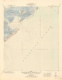
1944 · Fort Fremont
USGS Topo · 1:62,500

1945 · Bluffton
USGS Topo · 1:62,500
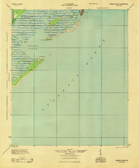
1945 · Wassaw Sound
USGS Topo · 1:62,500

1946 · Brunswick
USGS Topo · 1:250,000
Featured Places
- Hilton Head Island, SC
- Indigo Run, Hilton Head Island
- Hilton Head Plantation, Hilton Head Island
- Palmetto Dunes, Hilton Head Island
- Port Royal, Hilton Head Island