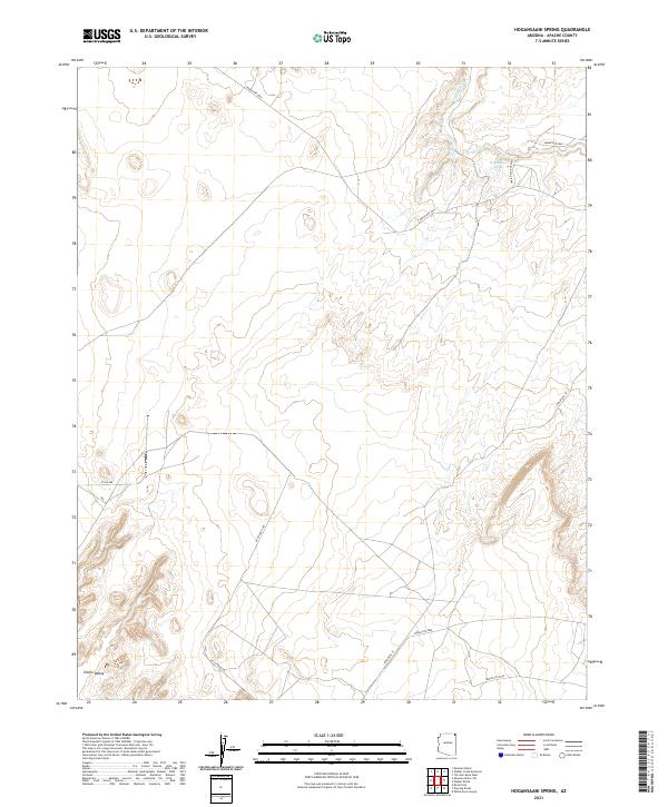
2021 Map of Hogansaani Spring
USGS Topo · Published 2021About this map
Chinle Valley stretches across this portion of the Navajo Nation, where the landscape is defined by the intermittent drainage of Walker Creek and the critical water source at Hogansaani Spring. The map documents a sophisticated network of tribal and county transportation routes, including Indian Rte 35 and Co Rd 484, which navigate the arid terrain. These roads often follow natural contours or serve as connectors between localized grazing areas and more prominent routes like Indian Rte 5040. This 2021 survey illustrates the modern management of ancestral lands in Apache County, showing how infrastructure such as Indian Svc Rte 5055 supports the remote residents of the high desert. The intersection of traditional land use and contemporary mapping is evident in the precise demarcation of township boundaries like t40n r26e against the open valley floor.
Find a feature on this map
15 named features on this map. Tap any name to fly to it.
Don’t see what you’re looking for? This feature index may not catch every label — zoom into the map to look around manually.
Map Details
Editions of this 2021 Hogansaani Spring Map
This is the sole edition of this map. No revisions or reprints were ever made.
Other maps of this area

1892 · Canyon De Chelly
USGS Topo · 1:250,000

1953 · Los Gigantes NW
USGS Topo · 1:24,000

1953 · Dinne Mesa NW
USGS Topo · 1:24,000

1953 · Dinne Mesa SW
USGS Topo · 1:24,000

1953 · Toh-Atin Mesa
USGS Topo · 1:62,500

1953 · Los Gigantes Buttes
USGS Topo · 1:62,500

1954 · Shiprock
USGS Topo · 1:250,000

1958 · Shiprock
USGS Topo · 1:250,000

1959 · Shiprock
USGS Topo · 1:250,000
1968 · Mexican Water
USGS Topo · 1:24,000