Loading...
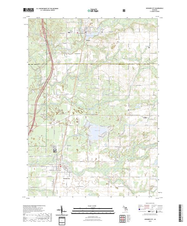
Loading map...2023 Map of Howard City
USGS Topo · Published 2023About this map
Howard City serves as a primary hub in this West Michigan landscape, situated at the confluence of several significant watercourses and historical transport routes. The village is bisected by the Fred Meijer White Pine Trail State Park, a rail-to-trail conversion that traces the path of an important regional corridor. The northern portion of the map is dominated by the Little Muskegon River, which forms Morley Pond near the village of Morley.
Find a feature on this map
73 named features on this map. Tap any name to fly to it.
Don’t see what you’re looking for? This feature index may not catch every label — zoom into the map to look around manually.
Map Details
Date Portrayed2023
Date Published2023
PublisherU.S. Geological Survey
Map TypeTopographic
Scale1:24000
Physical Dimensions24 x 29 inches
Editions of this 2023 Howard City Map
This is the sole edition of this map. No revisions or reprints were ever made.
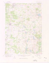
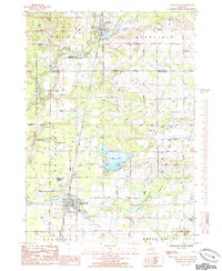
Historical Maps of Pierson Township Through Time
3 maps found
Featured Locations
- Morley, MI
- Winfield Township, MI
- Pierson Township, MI
- Reynolds Township, MI
- Howard City, Reynolds Township
Source Details
SourceU.S. Geological Survey
CopyrightPublic Domain