Loading...
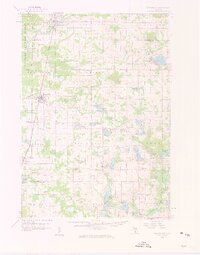
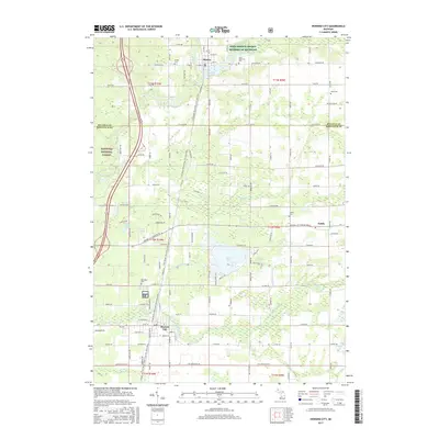
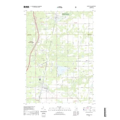
Loading map...1959 Map of Howard City
USGS Topo · Published 1960About this map
The Pennsylvania railroad corridor anchors the western landscape of this mid-century portrait, connecting the village of Howard City with northern timber and farming outposts. In this era of late 1950s rural development, the topography is defined by a dense network of glacial lakes including Tamarack Lake and Cranberry Lake, surrounded by small family-named schools and churches that served a scattered agricultural community.
Find a feature on this map
112 named features on this map. Tap any name to fly to it.
Don’t see what you’re looking for? This feature index may not catch every label — zoom into the map to look around manually.
Map Details
Date Portrayed1959
Date Published1960
PublisherU.S. Geological Survey
Map TypeTopographic
Scale1:62,500
Physical Dimensions17.19 x 21.92 inches
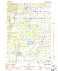
Editions of this 1959 Howard City Map
2 editions found
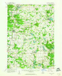
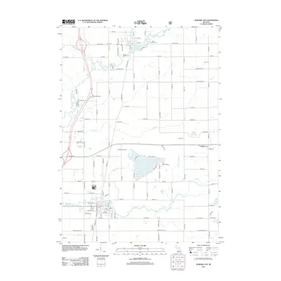
Historical Maps of Howard City Through Time
7 maps found

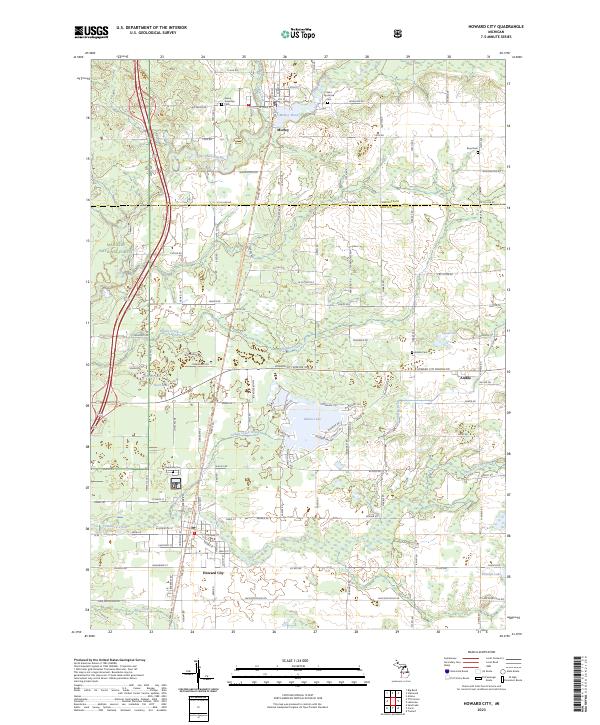
Featured Locations
- Morley, MI
- Aetna Township, MI
- Howard City, Reynolds Township
- Lakeview, Cato Township
- Pierson, Pierson Township
Source Details
SourceU.S. Geological Survey
CopyrightPublic Domain