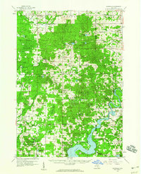
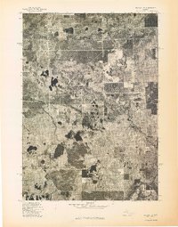
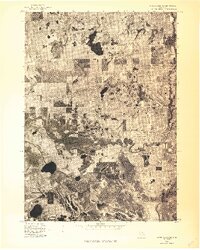
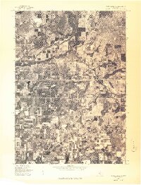
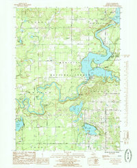
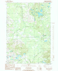
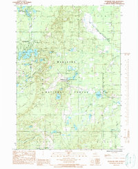
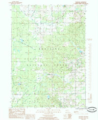
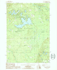
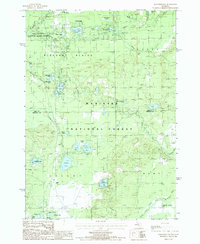
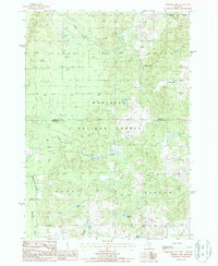
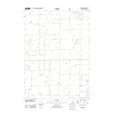
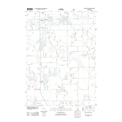
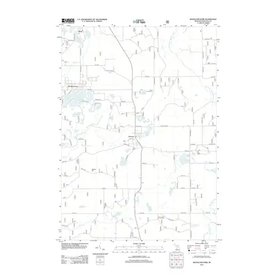
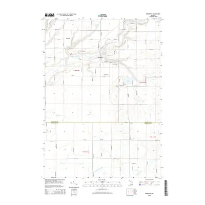
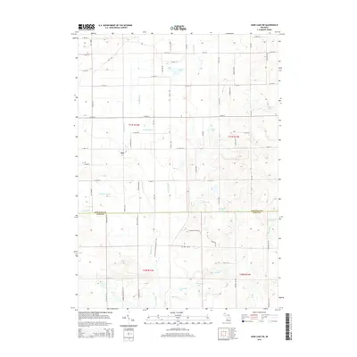
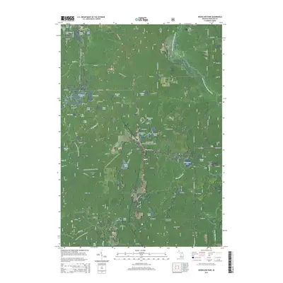
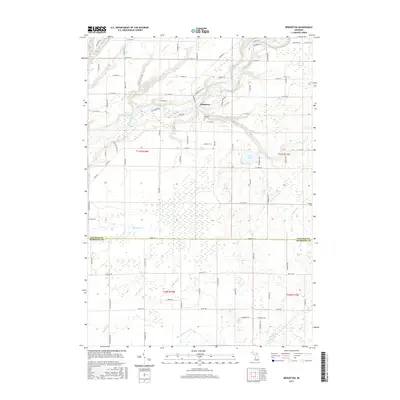
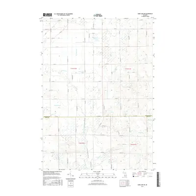
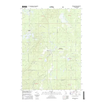
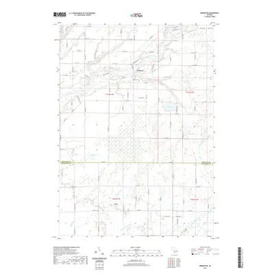
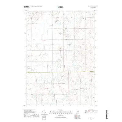
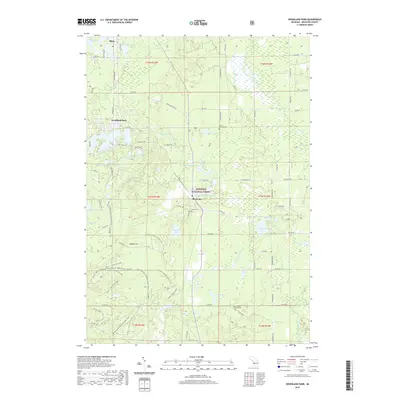
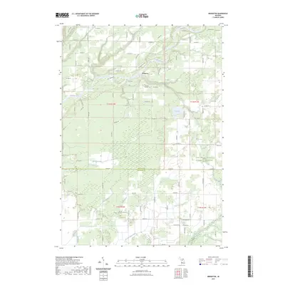
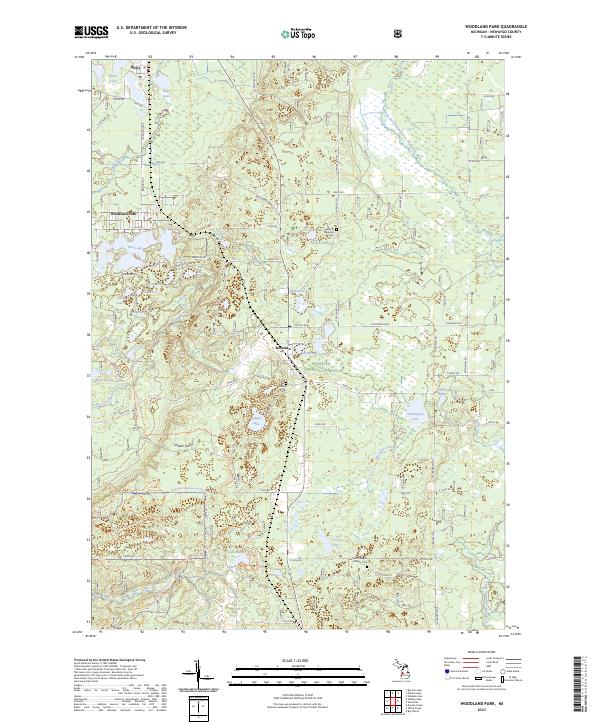
1958 Map of Woodville
USGS Topo · Published 1960About this map
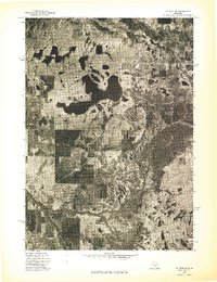
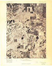
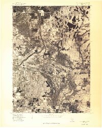
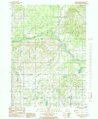
Woodville and the surrounding townships in the Manistee National Forest appear here in a period of transition between its timber-era past and a modern industrial landscape. The Muskegon River dominates the southeast, where the massive Hardy Dam Pond and nearby Oxbow Park reflect the region's mid-century development for power and recreation. Remnants of the lumbering days are visible in the numerous railroad grades that crisscross the northern forests, while the agrarian character of the land is preserved in small communities like Trumbull Corners and Big Prairie.
Find a feature on this map
77 named features on this map. Tap any name to fly to it.
Don’t see what you’re looking for? This feature index may not catch every label — zoom into the map to look around manually.
Map Details
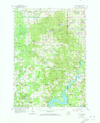
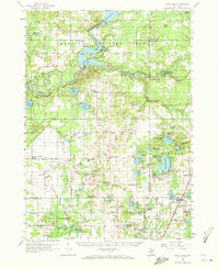
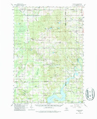
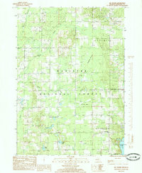
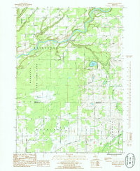
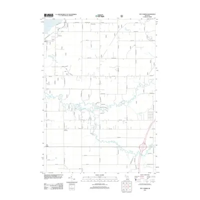
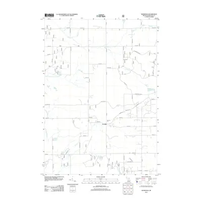
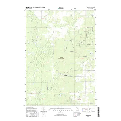
Editions of this 1958 Woodville Map
3 editions found
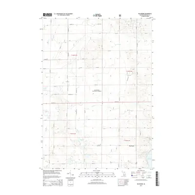
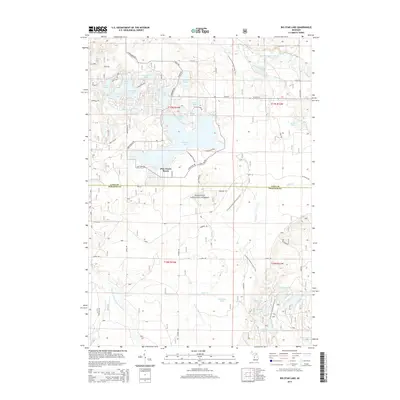
Historical Maps of Big Rapids Through Time
80 maps found
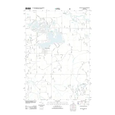
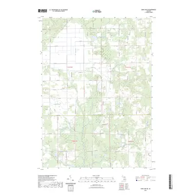
1958 Sand Lake
Newaygo County, MI
1958 Woodville
Newaygo County, MI
1976 Baldwin SE
Newaygo County, MI
1976 Baldwin SW
Newaygo County, MI
1976 White Cloud NE
Newaygo County, MI
1976 White Cloud NW
Newaygo County, MI
1976 White Cloud SE
Newaygo County, MI
1976 White Cloud SW
Newaygo County, MI
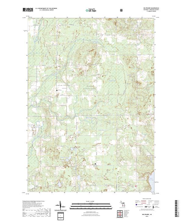
1985 Big Prairie
Newaygo County, MI
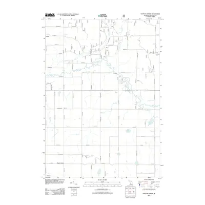
1985 Bridgeton
Newaygo County, MI
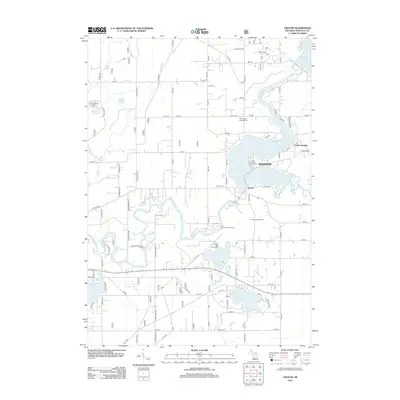
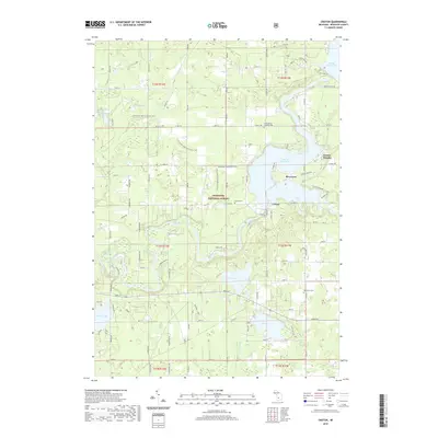
1985 Croton
Newaygo County, MI
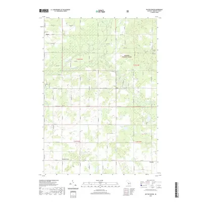
1985 Dayton Center
Newaygo County, MI
1985 Sand Lake SW
Newaygo County, MI
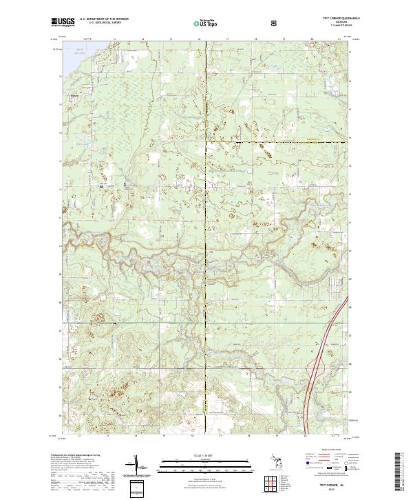
1985 Tift Corner
Newaygo County, MI
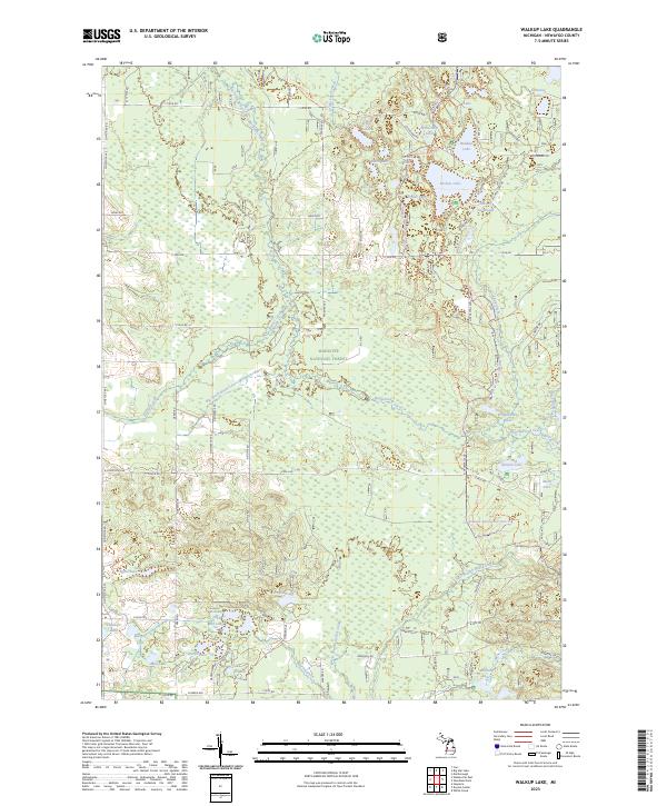
1985 Walkup Lake
Newaygo County, MI
1985 Woodland Park
Newaygo County, MI
1985 Woodville
Newaygo County, MI
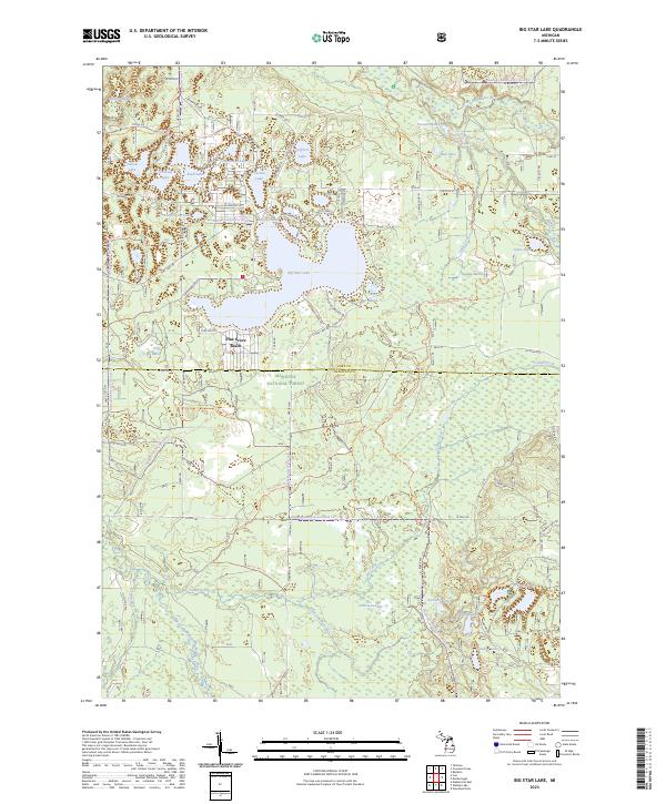
1987 Big Star Lake
Newaygo County, MI
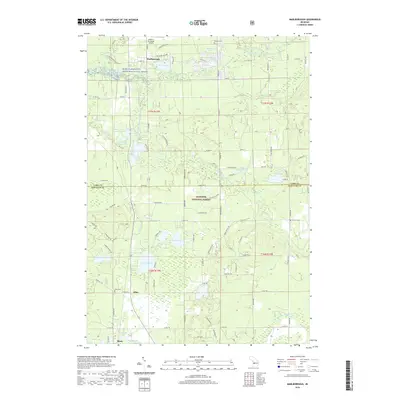
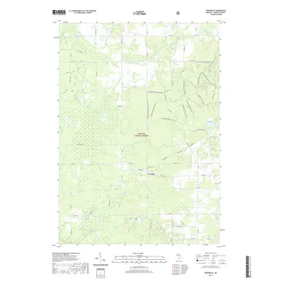
1987 Marlborough
Newaygo County, MI
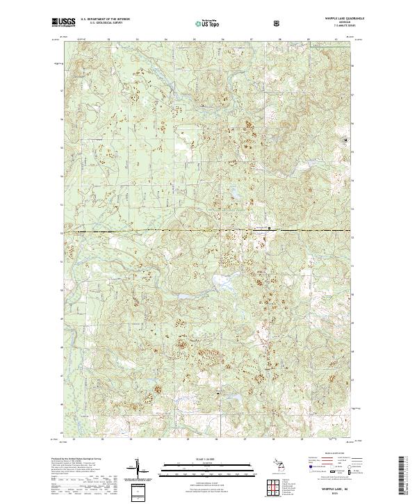
1987 Whipple Lake
Newaygo County, MI
2011 Bridgeton
Newaygo County, MI
2011 Sand Lake SW
Newaygo County, MI
2012 Big Prairie
Newaygo County, MI
2012 Big Star Lake
Newaygo County, MI
2012 Croton
Newaygo County, MI
2012 Dayton Center
Newaygo County, MI
2012 Marlborough
Newaygo County, MI
2012 Tift Corner
Newaygo County, MI
2012 Walkup Lake
Newaygo County, MI
2012 Whipple Lake
Newaygo County, MI
2012 Woodland Park
Newaygo County, MI
2012 Woodville
Newaygo County, MI
2014 Big Prairie
Newaygo County, MI
2014 Big Star Lake
Newaygo County, MI
2014 Bridgeton
Newaygo County, MI
2014 Croton
Newaygo County, MI
2014 Dayton Center
Newaygo County, MI
2014 Marlborough
Newaygo County, MI
2014 Sand Lake SW
Newaygo County, MI
2014 Tift Corner
Newaygo County, MI
2014 Walkup Lake
Newaygo County, MI
2014 Whipple Lake
Newaygo County, MI
2014 Woodland Park
Newaygo County, MI
2014 Woodville
Newaygo County, MI
2017 Big Prairie
Newaygo County, MI
2017 Big Star Lake
Newaygo County, MI
2017 Bridgeton
Newaygo County, MI
2017 Croton
Newaygo County, MI
2017 Dayton Center
Newaygo County, MI
2017 Marlborough
Newaygo County, MI
2017 Sand Lake SW
Newaygo County, MI
2017 Tift Corner
Newaygo County, MI
2017 Walkup Lake
Newaygo County, MI
2017 Whipple Lake
Newaygo County, MI
2017 Woodland Park
Newaygo County, MI
2017 Woodville
Newaygo County, MI
2019 Big Prairie
Newaygo County, MI
2019 Big Star Lake
Newaygo County, MI
2019 Bridgeton
Newaygo County, MI
2019 Croton
Newaygo County, MI
2019 Dayton Center
Newaygo County, MI
2019 Marlborough
Newaygo County, MI
2019 Sand Lake SW
Newaygo County, MI
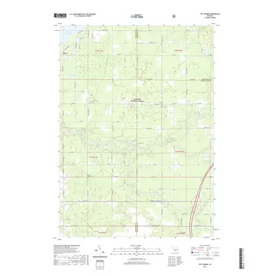
2019 Tift Corner
Newaygo County, MI
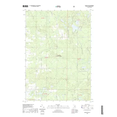
2019 Walkup Lake
Newaygo County, MI
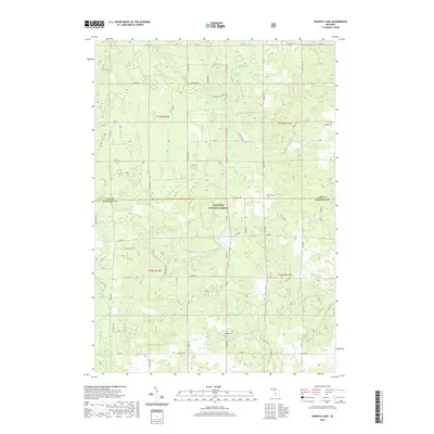
2019 Whipple Lake
Newaygo County, MI
2019 Woodland Park
Newaygo County, MI
2019 Woodville
Newaygo County, MI
2023 Big Prairie
Newaygo County, MI
2023 Big Star Lake
Newaygo County, MI
2023 Bridgeton
Newaygo County, MI
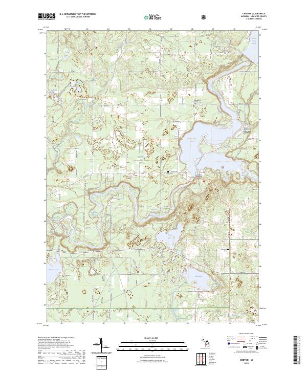
2023 Croton
Newaygo County, MI
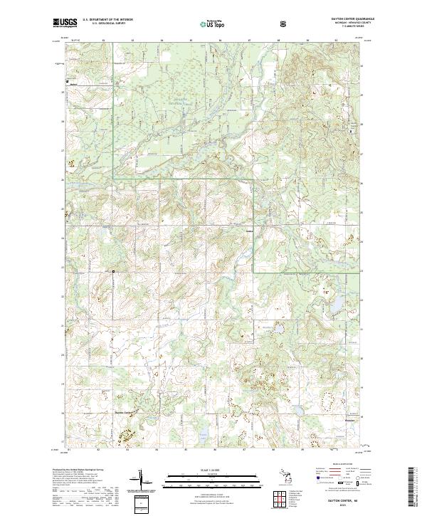
2023 Dayton Center
Newaygo County, MI
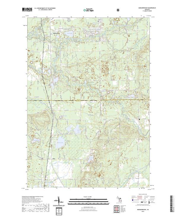
2023 Marlborough
Newaygo County, MI
2023 Sand Lake SW
Newaygo County, MI
2023 Tift Corner
Newaygo County, MI
2023 Walkup Lake
Newaygo County, MI
2023 Whipple Lake
Newaygo County, MI
2023 Woodland Park
Newaygo County, MI
2023 Woodville
Newaygo County, MI
Featured Locations
- Big Rapids, MI
- Aetna Township, MI
- Goodwell Township, MI
- Monroe Township, MI
- Big Prairie, Big Prairie Township