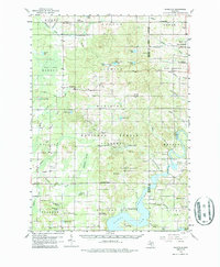
1958 Map of Woodville
USGS Topo · Published 1987About this map
The Muskegon River winds through the eastern edge of this Michigan landscape, defining the transition between the agricultural township of Big Prairie and the wooded expanses of the Manistee National Forest. This late 1950s survey documents a rural economy still tied to the land, evidenced by numerous gravel pits and the prominent Gibbs Lookout Tower watching over the timberlands. Trace the legacy of early logging and transport via the Old Railroad Grade that cuts across the terrain near Woodville.
Find a feature on this map
79 named features on this map. Tap any name to fly to it.
Don’t see what you’re looking for? This feature index may not catch every label — zoom into the map to look around manually.
Map Details
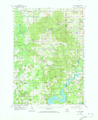
Editions of this 1958 Woodville Map
3 editions found
Other maps of this area

1954 · Midland
USGS Topo · 1:250,000

1958 · Midland
USGS Topo · 1:250,000

1958 · Sand Lake
USGS Topo · 1:62,500

1958 · Fremont
USGS Topo · 1:62,500

1958 · Woodville
USGS Topo · 1:62,500

1958 · Big Rapids
USGS Topo · 1:62,500

1959 · Midland
USGS Topo · 1:250,000

1959 · Howard City
USGS Topo · 1:62,500

1959 · Evart
USGS Topo · 1:62,500

1959 · Reed City
USGS Topo · 1:62,500