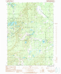
1985 Map of Woodland Park
USGS Topo · Published 1990About this map
The Manistee National Forest encompasses this pocket of Newaygo County, where the settlement of Woodland Park serves as a residential hub amidst a dense network of glacial kettle lakes. This mid-1980s landscape is defined by its water, from the northern Bitely Lake and Lamoreaux Lake down to Loda Lake and the marshy edges of Loon Lake. The small village of Brohman sits centrally along the main north-south corridor, marked by a local Townhall.
Find a feature on this map
45 named features on this map. Tap any name to fly to it.
Don’t see what you’re looking for? This feature index may not catch every label — zoom into the map to look around manually.
Map Details
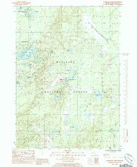
Editions of this 1985 Woodland Park Map
2 editions found
Other maps of this area

1954 · Midland
USGS Topo · 1:250,000

1958 · Midland
USGS Topo · 1:250,000

1958 · Woodville
USGS Topo · 1:62,500

1959 · Midland
USGS Topo · 1:250,000

1959 · Reed City
USGS Topo · 1:62,500

1959 · Baldwin
USGS Topo · 1:62,500

1959 · White Cloud
USGS Topo · 1:62,500

1966 · Midland
USGS Topo · 1:250,000
1976 · White Cloud SW
USGS Topo · 1:24,000
1976 · Baldwin SE
USGS Topo · 1:24,000