
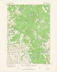
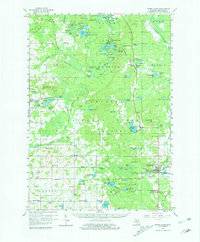
1959 Map of White Cloud
USGS Topo · Published 1960About this map
White Cloud serves as the focal point of this late 1950s survey of central Newaygo County, situated at a junction of the Chesapeake and Ohio railroad and the Little South Branch Pere Marquette River. The landscape is dominated by the sprawling Manistee National Forest, where a dense network of lakes such as Nichols Lake, Bitely Lake, and Winnepesaug Lake highlights the region's glacial character and burgeoning recreation economy. Small rural settlements and family landmarks define the interior, with several schools like Donahue Sch and Graham Sch serving dispersed farming communities.
Find a feature on this map
133 named features on this map. Tap any name to fly to it.
Don’t see what you’re looking for? This feature index may not catch every label — zoom into the map to look around manually.
Map Details
Editions of this 1959 White Cloud Map
3 editions found
Other maps of this area

1931 · Walkerville NE
USGS Topo · 1:31,680

1931 · Custer SE
USGS Topo · 1:31,680

1931 · Walkerville SE
USGS Topo · 1:31,680

1954 · Milwaukee
USGS Topo · 1:250,000

1954 · Midland
USGS Topo · 1:250,000

1958 · Midland
USGS Topo · 1:250,000

1958 · Milwaukee
USGS Topo · 1:250,000

1958 · Hesperia
USGS Topo · 1:62,500

1958 · Sand Lake
USGS Topo · 1:62,500

1958 · Twin Lake
USGS Topo · 1:62,500