2023 Map of Hudson
USGS Topo · Published 2023About this map
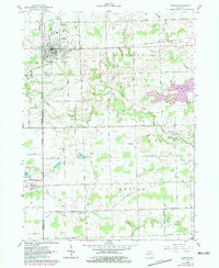
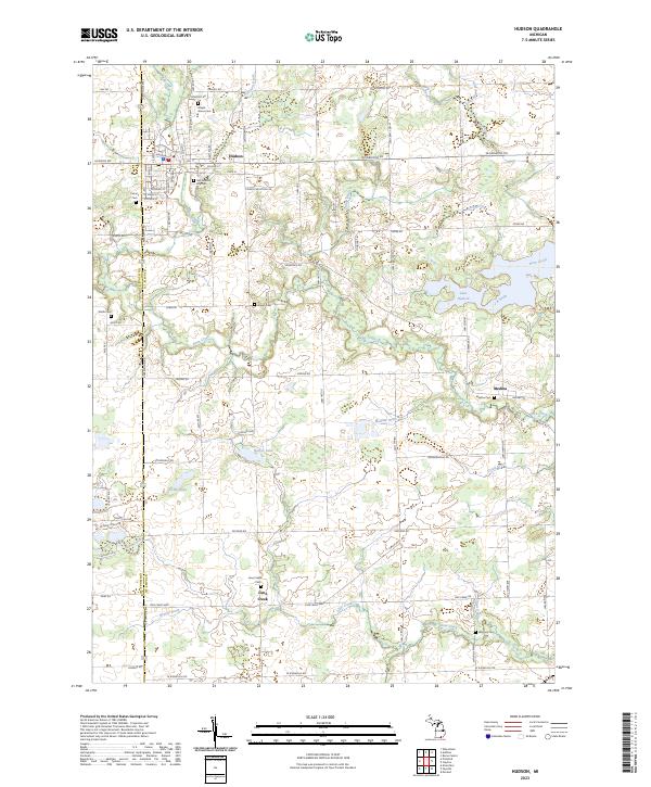
Hudson serves as the primary hub in this corner of Lenawee County, characterized by its traditional street grid and industrial developments such as Steger Industrial Dr. The area's history is well-preserved through numerous burial grounds, including the Old Hudson City Cem and Calvary Cem, which provide significant anchor points for genealogical research. Further south, smaller settlements like Medina and Lime Creek are tied together by a network of drainage systems and waterways, most notably Bean Creek and the man-made Lake Hudson.
Find a feature on this map
81 named features on this map. Tap any name to fly to it.
Don’t see what you’re looking for? This feature index may not catch every label — zoom into the map to look around manually.
Map Details
Editions of this 2023 Hudson Map
This is the sole edition of this map. No revisions or reprints were ever made.