Loading...
Loading map...2024 Map of Independence
USGS Topo · Published 2024About this map
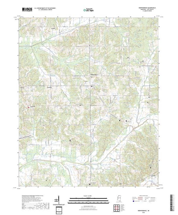
Independence serves as the central hub of this Tate County landscape, where the rural road network converges near Palestine Cem. The terrain is defined by a dense system of watercourses, including Beartail Creek to the north and the expansive Hickahala Creek bottomlands to the south. Small settlements like Antioch, Bowman, and Bett are scattered across the quadrangle, connected by storied routes such as the Old Memphis Oxford Rd.
Find a feature on this map
117 named features on this map. Tap any name to fly to it.
Don’t see what you’re looking for? This feature index may not catch every label — zoom into the map to look around manually.
Map Details
Date Portrayed2024
Date Published2024
PublisherU.S. Geological Survey
Map TypeTopographic
Scale1:24000
Physical Dimensions24 x 29 inches
Editions of this 2024 Independence Map
This is the sole edition of this map. No revisions or reprints were ever made.
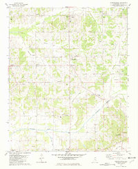
Historical Maps of Independence Through Time
Featured Locations
Source Details
SourceU.S. Geological Survey
CopyrightPublic Domain