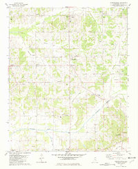
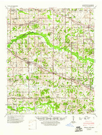
1982 Map of Independence
USGS Topo · Published 1982About this map
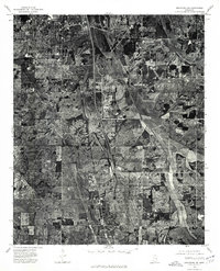
Independence sits at the heart of this North Mississippi landscape, where a network of rural settlements like Thyatira, Poagville, and Chigger define the local community. The topography is characterized by a series of north-south drainage systems, including Hickahala Creek and the James Wolf Canal in the south, and Beartail Creek in the north. This 1982 map records several small family and community burial grounds, such as Burford Cem and Hancock Cem, providing valuable data for genealogists tracing ancestral roots in Tate County.
Find a feature on this map
42 named features on this map. Tap any name to fly to it.
Don’t see what you’re looking for? This feature index may not catch every label — zoom into the map to look around manually.
Map Details
Editions of this 1982 Independence Map
This is the sole edition of this map. No revisions or reprints were ever made.
Other maps of this area
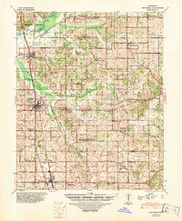
1944 · Senatobia
USGS Topo · 1:62,500
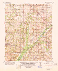
1944 · Hernando
USGS Topo · 1:62,500
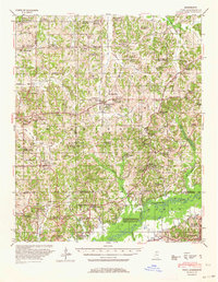
1944 · Tyro
USGS Topo · 1:62,500
1948 · Byhalia
USGS Topo · 1:62,500

1956 · Tupelo
USGS Topo · 1:250,000

1958 · Tupelo
USGS Topo · 1:250,000
1971 · Byhalia
USGS Topo · 1:24,000
1971 · Wyatte
USGS Topo · 1:24,000
1971 · Tyro
USGS Topo · 1:24,000
1975 · Senatobia SW
USGS Topo · 1:24,000