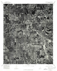
1975 Map of Senatobia SW
USGS Topo · Published 1976About this map
Como and the southern edge of Senatobia anchor this 1975 orthophotomap of the Panola County landscape. The aerial photography reveals a mosaic of agricultural fields and timbered tracts divided by a prominent north-south transportation corridor. The imagery captures the transition between the established town centers and the rural hinterland, specifically the area surrounding New Town. This perspective provides a clear view of land-use patterns in the mid-1970s, showcasing the placement of farmsteads and the geometry of local roads before later suburban expansion or changes in forestry practices. The orthophoto format preserves the literal texture of the Mississippi terrain, from the dense tree lines along creek beds to the precise outlines of residential blocks and commercial footprints within the primary settlements.
Find a feature on this map
3 named features on this map. Tap any name to fly to it.
Don’t see what you’re looking for? This feature index may not catch every label — zoom into the map to look around manually.
Map Details
Editions of this 1975 Senatobia SW Map
This is the sole edition of this map. No revisions or reprints were ever made.
Other maps of this area

1932 · Sledge
USGS Topo · 1:48,000

1932 · Crenshaw
USGS Topo · 1:62,500

1935 · Crenshaw
USGS Topo · 1:62,500

1935 · Sledge
USGS Topo · 1:62,500

1939 · Sledge
USGS Topo · 1:62,500

1944 · Senatobia
USGS Topo · 1:62,500

1948 · Helena
USGS Topo · 1:250,000

1950 · Helena
USGS Topo · 1:250,000

1952 · Sardis
USGS Topo · 1:62,500

1953 · Sardis
USGS Topo · 1:62,500