
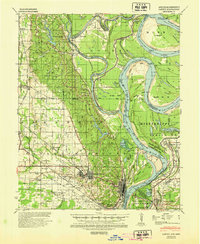
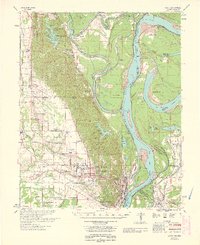
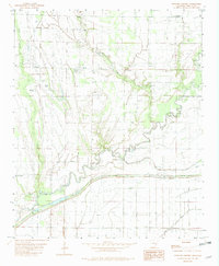
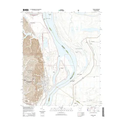
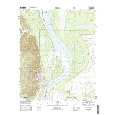
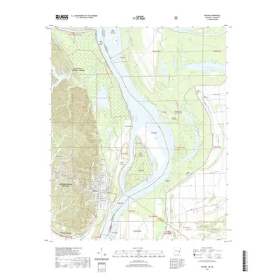
1948 Map of Helena
USGS Topo · Published 1948About this map
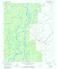
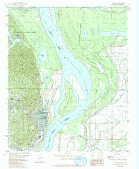
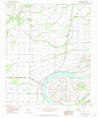
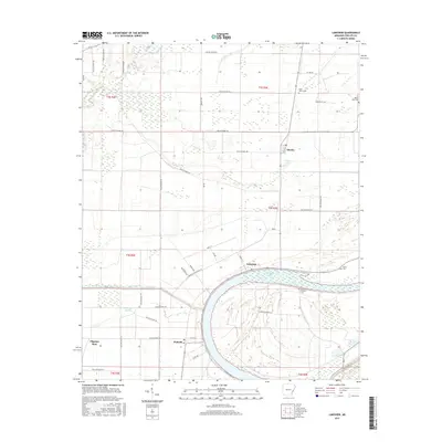
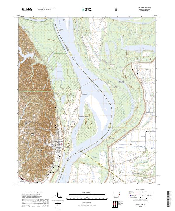
Mississippi River and its major tributaries, including the White River and St Francis River, dominate this mid-century landscape across the Arkansas Delta and into Mississippi. The mapping reflects a complex hydrological network defined by numerous bayous and oxbow lakes, such as Swan Lake and Alligator Lake, alongside modern water management infrastructure like the Sunshine Water Company Reservoir. Settled areas like Helena, Marianna, and Clarendon serve as regional hubs connected by the lines of the Chicago Rock Island and Pacific and St Louis Southwestern railroads. Of particular interest to local historians is the documentation of Bemis Plantation and numerous small communities like Moro, Aubrey, and Dagmar during a period of transition for the river-and-rail economy. The map also captures the Arkabutla Reservoir and Arkansas Reservoir, illustrating the scale of post-war flood control and water storage efforts in the lower Mississippi valley.
Find a feature on this map
214 named features on this map. Tap any name to fly to it.
Don’t see what you’re looking for? This feature index may not catch every label — zoom into the map to look around manually.
Map Details
Editions of this 1948 Helena Map
This is the sole edition of this map. No revisions or reprints were ever made.
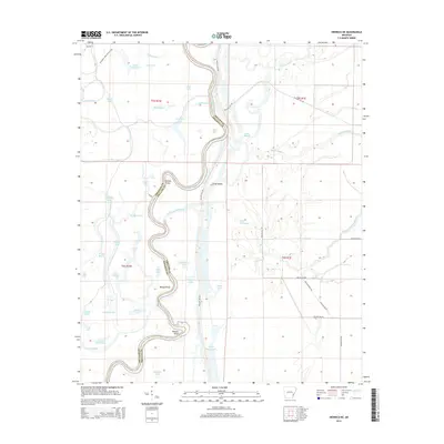
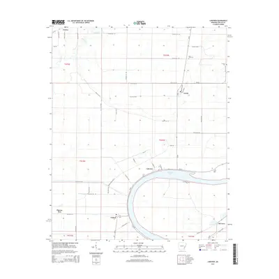
Historical Maps of Memphis Through Time
50 maps found
1939 Latour
Phillips County, AR

1939 Modoc
Phillips County, AR
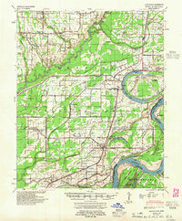
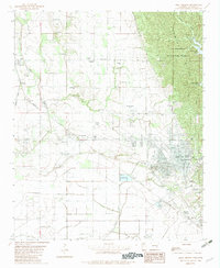
1948 Helena
Phillips County, AR
1948 Modoc
Phillips County, AR
1950 Helena
Phillips County, AR
1955 Helena
Phillips County, AR

1955 Latour
Phillips County, AR

1959 Helena
Phillips County, AR

1960 Helena
Phillips County, AR

1961 Latour
Phillips County, AR
1963 Latour
Phillips County, AR
1963 Modoc
Phillips County, AR
1964 Friars Point NW
Phillips County, AR
1964 Modoc
Phillips County, AR
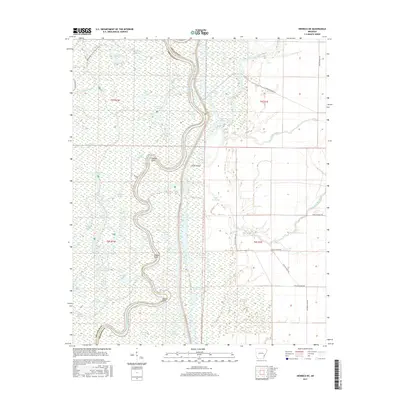
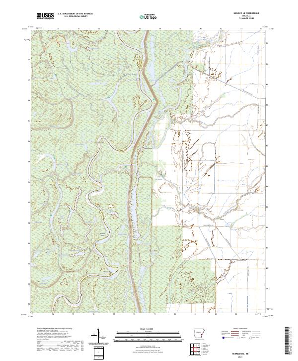
1967 Henrico NE
Phillips County, AR
1982 Helena
Phillips County, AR
1982 Lakeview
Phillips County, AR
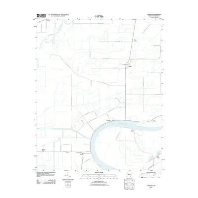
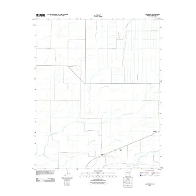
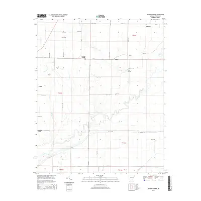
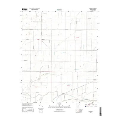
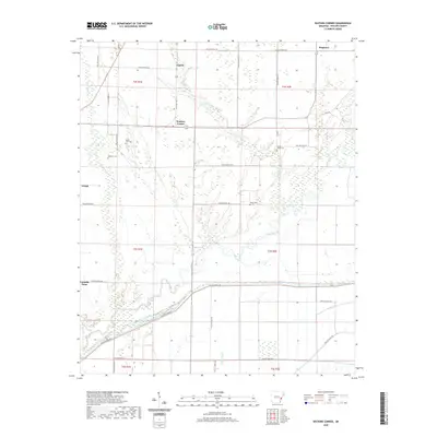
1982 Lambrook
Phillips County, AR
1982 Watkins Corner
Phillips County, AR
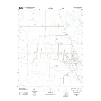
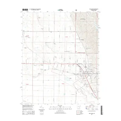
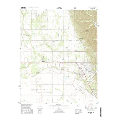
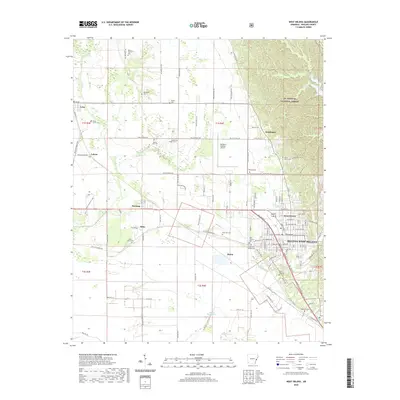
1982 West Helena
Phillips County, AR
2011 Helena
Phillips County, AR
2011 Henrico NE
Phillips County, AR
2011 Lakeview
Phillips County, AR
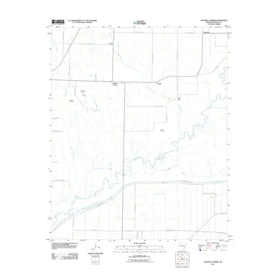
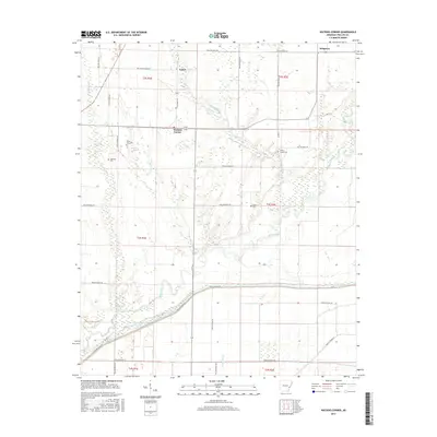
2011 Lambrook
Phillips County, AR
2011 Watkins Corner
Phillips County, AR
2011 West Helena
Phillips County, AR
2014 Helena
Phillips County, AR
2014 Henrico NE
Phillips County, AR
2014 Lakeview
Phillips County, AR
2014 Lambrook
Phillips County, AR
2014 Watkins Corner
Phillips County, AR
2014 West Helena
Phillips County, AR
2017 Helena
Phillips County, AR
2017 Henrico NE
Phillips County, AR
2017 Lakeview
Phillips County, AR
2017 Lambrook
Phillips County, AR
2017 Watkins Corner
Phillips County, AR
2017 West Helena
Phillips County, AR
2020 Helena
Phillips County, AR
2020 Henrico NE
Phillips County, AR
2020 Lakeview
Phillips County, AR
2020 Lambrook
Phillips County, AR
2020 Watkins Corner
Phillips County, AR
2020 West Helena
Phillips County, AR
2024 Helena
Phillips County, AR
2024 Henrico NE
Phillips County, AR
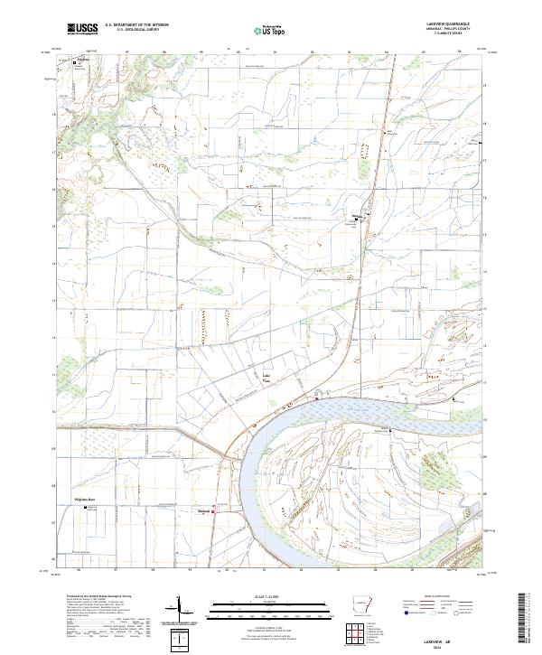
2024 Lakeview
Phillips County, AR
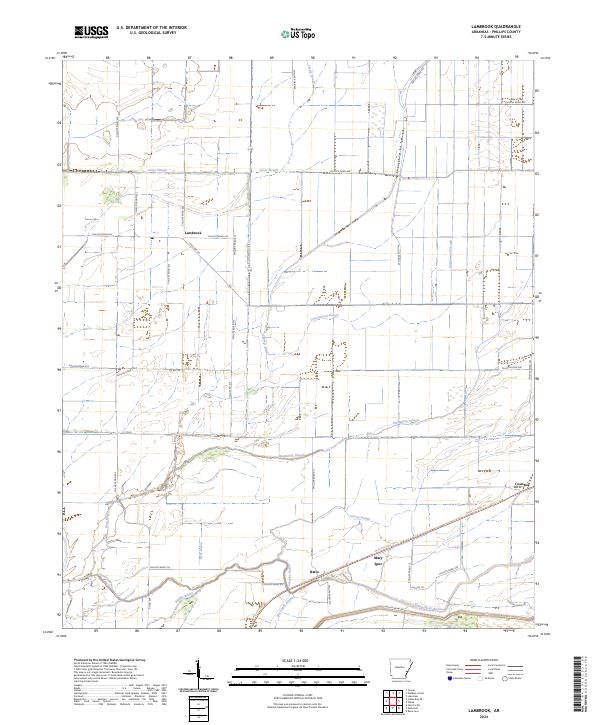
2024 Lambrook
Phillips County, AR
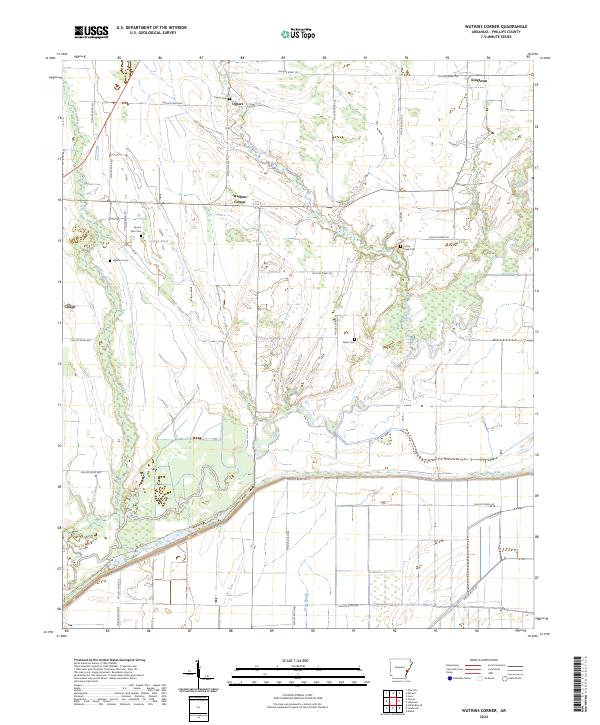
2024 Watkins Corner
Phillips County, AR
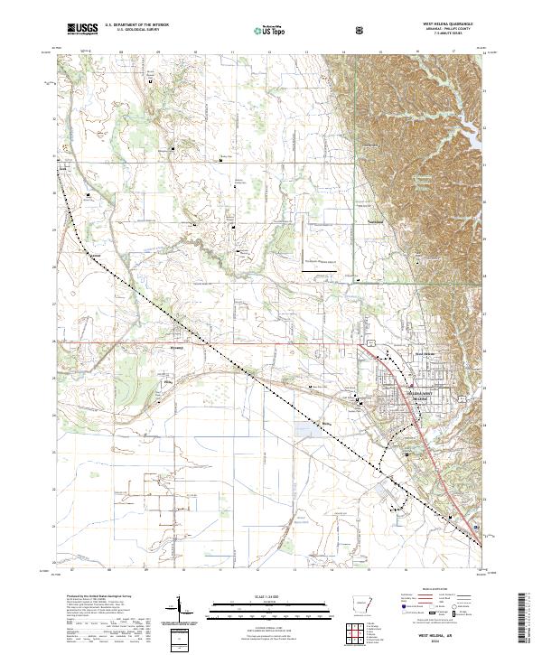
2024 West Helena
Phillips County, AR