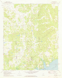
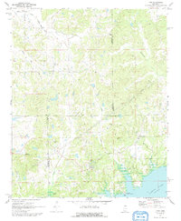
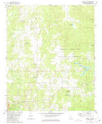
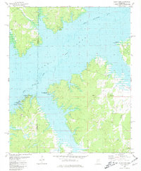
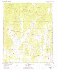
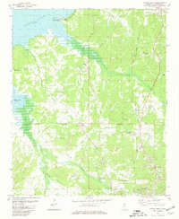
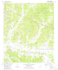
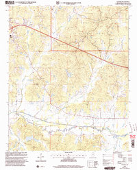
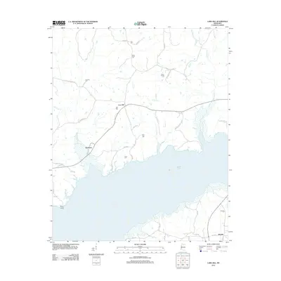
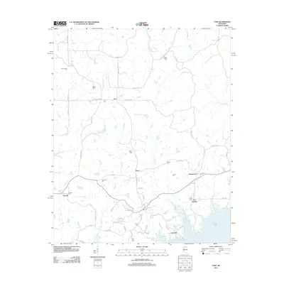
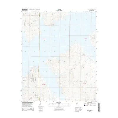
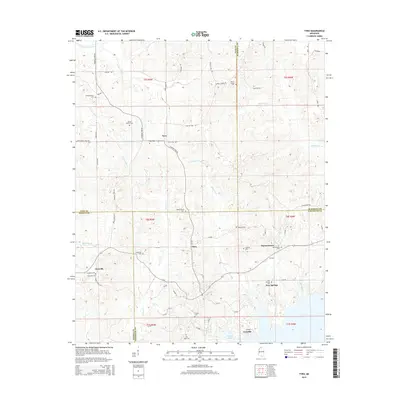
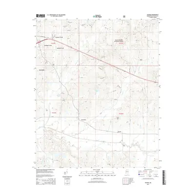
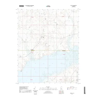
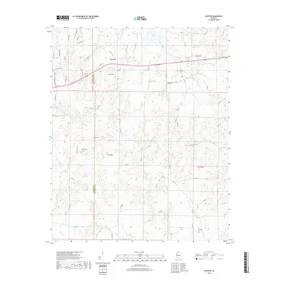
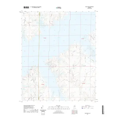
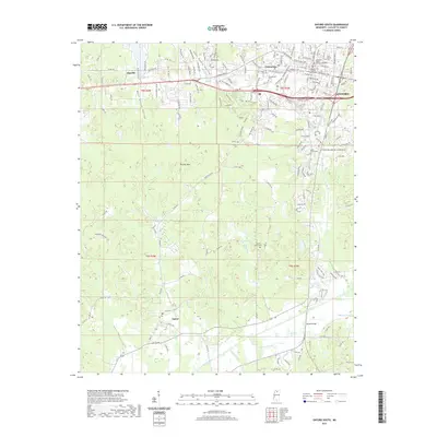
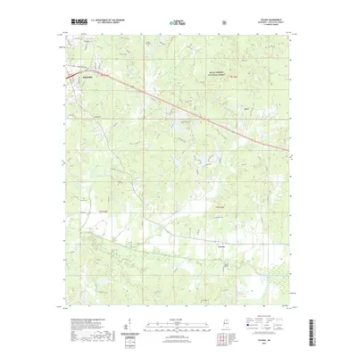
1971 Map of Tyro
USGS Topo · Published 1973About this map
The intersection of several North Mississippi counties creates a complex landscape of rural communities and waterways in the early 1970s. Tyro, Harmontown, and Glenville serve as central points for a network of family farms and country churches. The southern portion of the sheet is dominated by the northern reaches of Sardis Lake, where the Teckville Public Use Area and a Boat Ramp mark the transition from agricultural land to a controlled reservoir environment.
Find a feature on this map
31 named features on this map. Tap any name to fly to it.
Don’t see what you’re looking for? This feature index may not catch every label — zoom into the map to look around manually.
Map Details
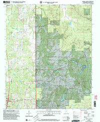
Editions of this 1971 Tyro Map
2 editions found
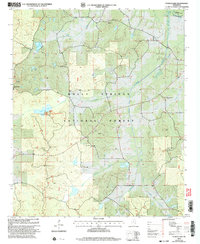
Historical Maps of Piera Through Time
66 maps found
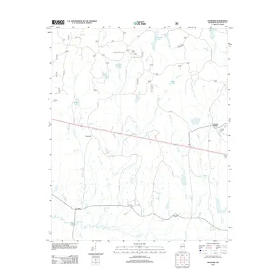
1942 Denmark
Lafayette County, MS
1943 Denmark
Lafayette County, MS
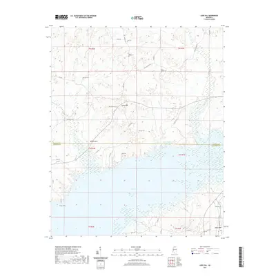
1971 Laws Hill
Lafayette County, MS
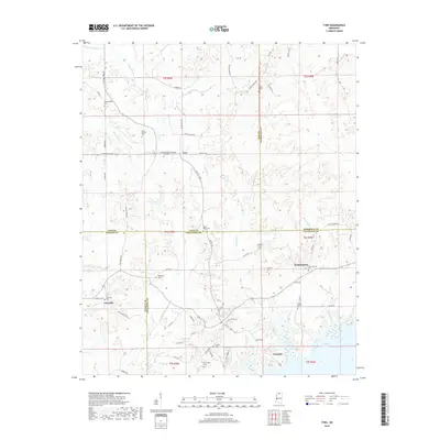
1971 Tyro
Lafayette County, MS
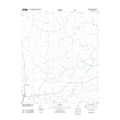
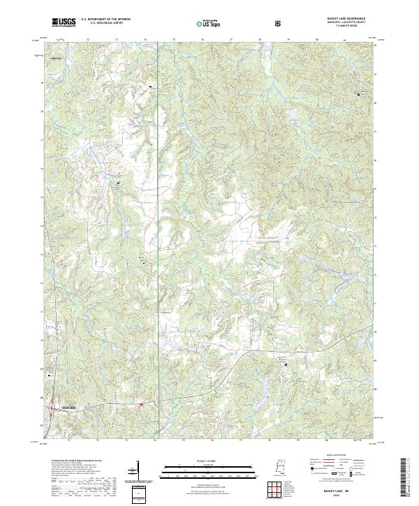
1980 Bagley Lake
Lafayette County, MS
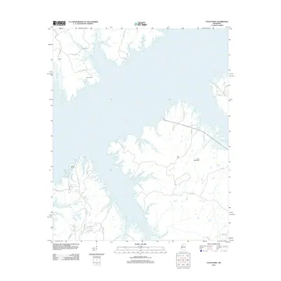
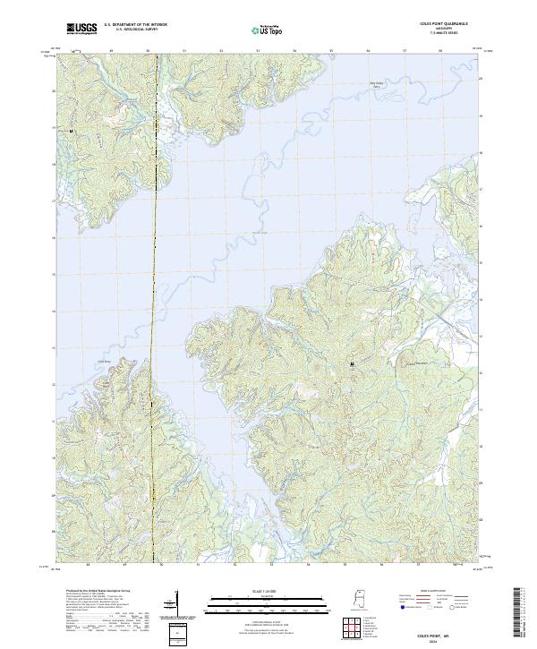
1980 Coles Point
Lafayette County, MS
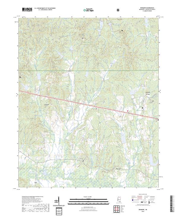
1980 Denmark
Lafayette County, MS
1980 Oxford North
Lafayette County, MS
1980 Oxford South
Lafayette County, MS
1980 Puskus Lake
Lafayette County, MS
1980 Splinter
Lafayette County, MS
1980 Yocona
Lafayette County, MS
2000 Bagley Lake
Lafayette County, MS
2000 Denmark
Lafayette County, MS
2000 Puskus Lake
Lafayette County, MS
2000 Yocona
Lafayette County, MS
2012 Bagley Lake
Lafayette County, MS
2012 Coles Point
Lafayette County, MS
2012 Denmark
Lafayette County, MS
2012 Laws Hill
Lafayette County, MS
2012 Oxford North
Lafayette County, MS
2012 Oxford South
Lafayette County, MS
2012 Puskus Lake
Lafayette County, MS
2012 Splinter
Lafayette County, MS
2012 Tyro
Lafayette County, MS
2012 Yocona
Lafayette County, MS
2015 Bagley Lake
Lafayette County, MS
2015 Coles Point
Lafayette County, MS
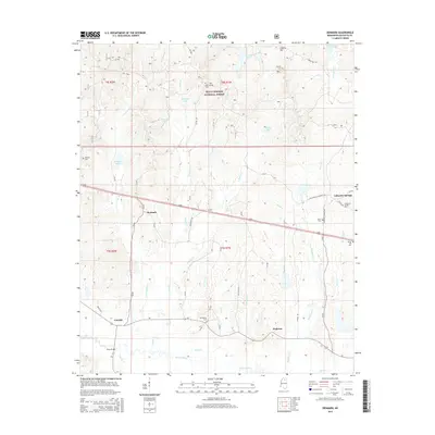
2015 Denmark
Lafayette County, MS
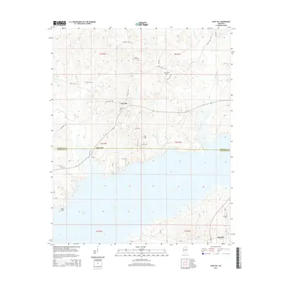
2015 Laws Hill
Lafayette County, MS
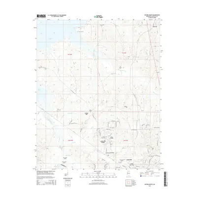
2015 Oxford North
Lafayette County, MS
2015 Oxford South
Lafayette County, MS
2015 Puskus Lake
Lafayette County, MS
2015 Splinter
Lafayette County, MS
2015 Tyro
Lafayette County, MS
2015 Yocona
Lafayette County, MS
2018 Bagley Lake
Lafayette County, MS
2018 Coles Point
Lafayette County, MS
2018 Denmark
Lafayette County, MS
2018 Laws Hill
Lafayette County, MS
2018 Oxford North
Lafayette County, MS
2018 Oxford South
Lafayette County, MS
2018 Puskus Lake
Lafayette County, MS
2018 Splinter
Lafayette County, MS
2018 Tyro
Lafayette County, MS
2018 Yocona
Lafayette County, MS
2021 Bagley Lake
Lafayette County, MS
2021 Coles Point
Lafayette County, MS
2021 Denmark
Lafayette County, MS
2021 Laws Hill
Lafayette County, MS
2021 Oxford North
Lafayette County, MS
2021 Oxford South
Lafayette County, MS
2021 Puskus Lake
Lafayette County, MS
2021 Splinter
Lafayette County, MS
2021 Tyro
Lafayette County, MS
2021 Yocona
Lafayette County, MS
2024 Bagley Lake
Lafayette County, MS
2024 Coles Point
Lafayette County, MS
2024 Denmark
Lafayette County, MS
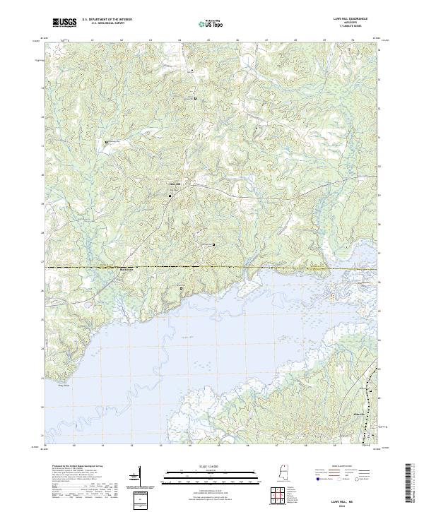
2024 Laws Hill
Lafayette County, MS
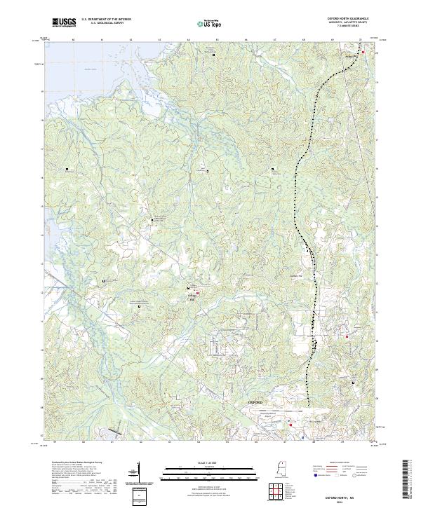
2024 Oxford North
Lafayette County, MS
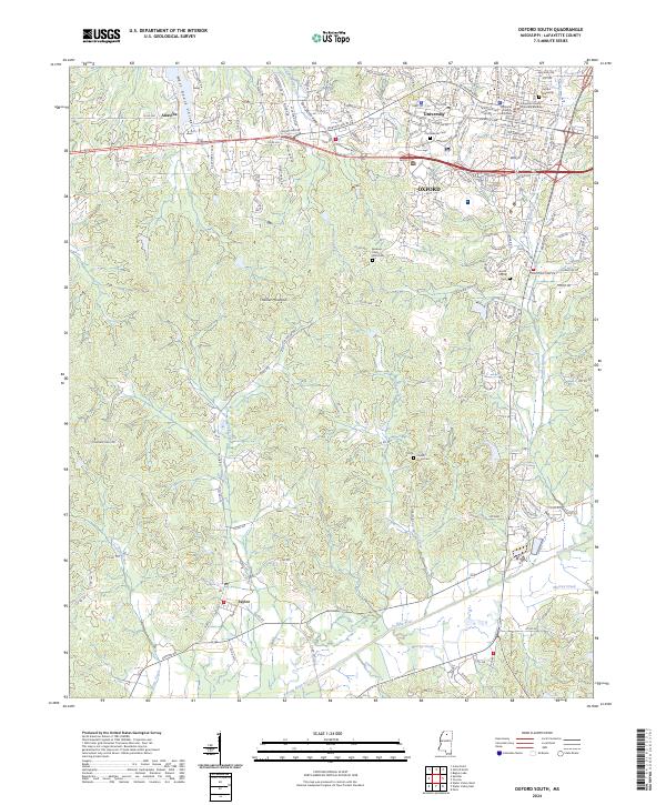
2024 Oxford South
Lafayette County, MS
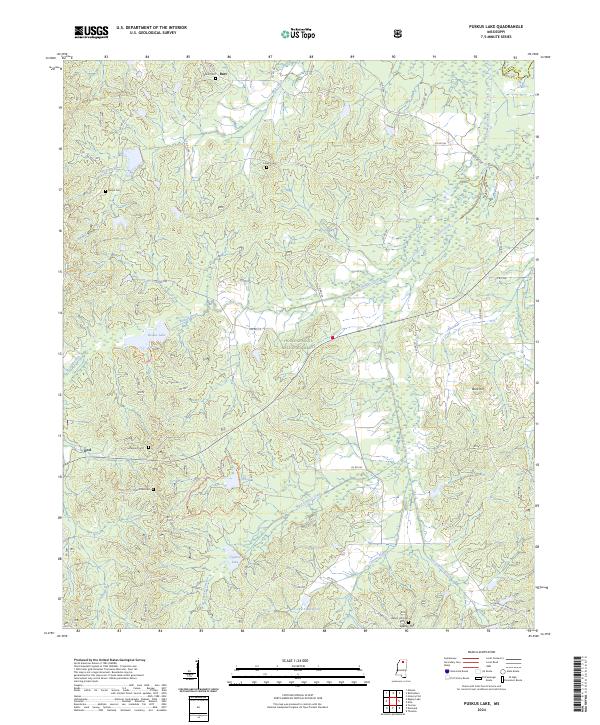
2024 Puskus Lake
Lafayette County, MS
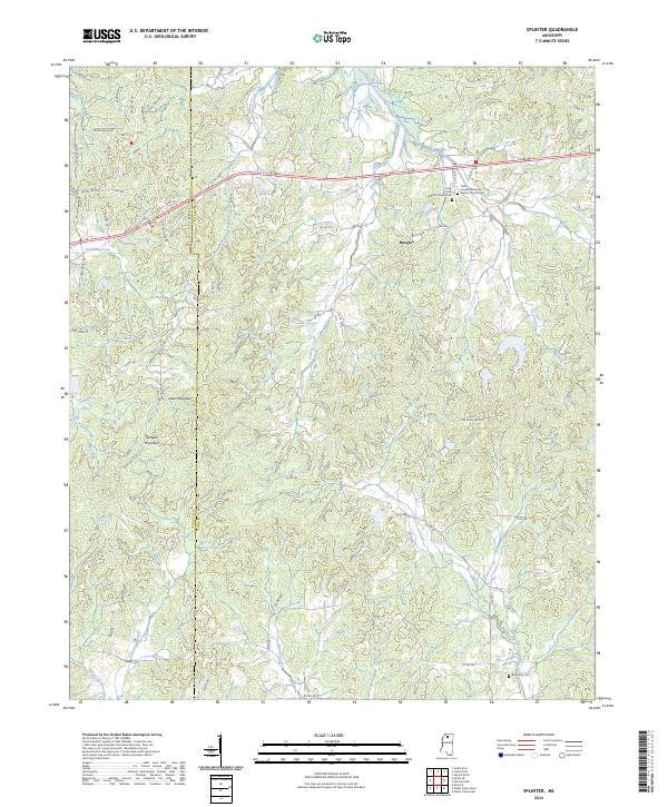
2024 Splinter
Lafayette County, MS
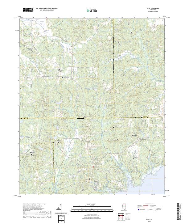
2024 Tyro
Lafayette County, MS
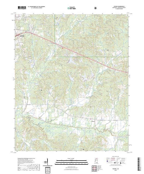
2024 Yocona
Lafayette County, MS