
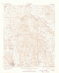
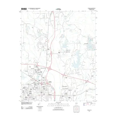
1958 Map of Tupelo
USGS Topo · Published 1958About this map
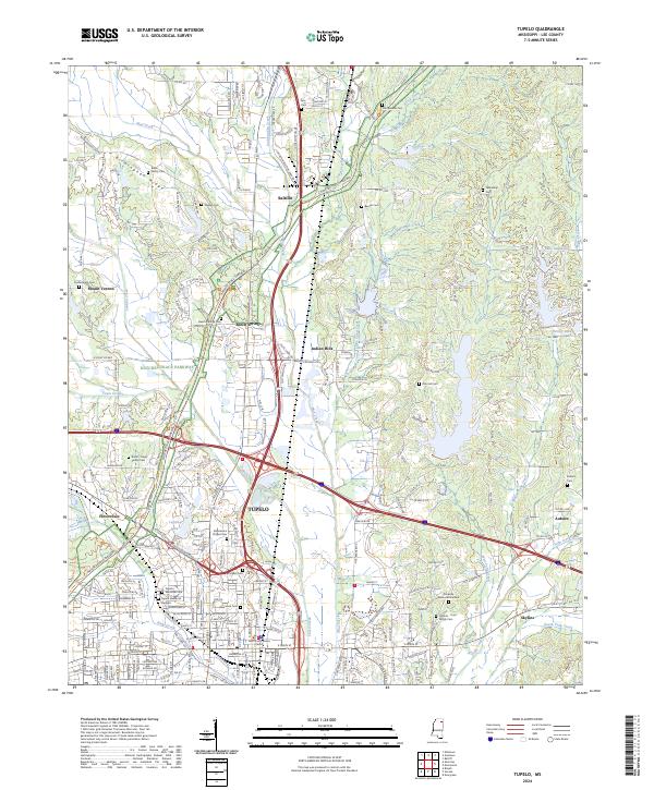
Pickwick Lake and the Tennessee River define the northeastern corner of this 1958 survey, while the massive reservoirs of Sardis Lake and Enid Lake dominate the western landscape. This era in Northeast Mississippi is characterized by a mature rail network, featuring the St Louis-San Francisco Ry and Gulf Mobile & Ohio RR which intersect at critical junctions like Tupelo and Corinth. The map documents the region's managed wilderness areas, including the vast Holly Springs National Forest and the Tishomingo County Game Refuge.
Find a feature on this map
198 named features on this map. Tap any name to fly to it.
Don’t see what you’re looking for? This feature index may not catch every label — zoom into the map to look around manually.
Map Details
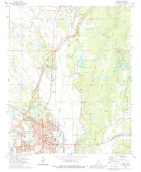
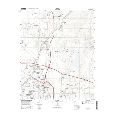
Editions of this 1958 Tupelo Map
This is the sole edition of this map. No revisions or reprints were ever made.
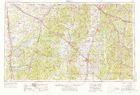
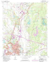
Historical Maps of Memphis Through Time
13 maps found
1921 Tupelo
Lee County, MS

1923 Tupelo
Lee County, MS
1956 Tupelo
Lee County, MS
1958 Tupelo
Lee County, MS
1973 Tupelo
Lee County, MS

1984 Tupelo
Lee County, MS

1984 Tupelo
Lee County, MS
1992 Tupelo
Lee County, MS
2012 Tupelo
Lee County, MS
2015 Tupelo
Lee County, MS
2018 Tupelo
Lee County, MS
2021 Tupelo
Lee County, MS
2024 Tupelo
Lee County, MS