Old Maps of Tupelo, Mississippi
Explore 32 old maps of Tupelo, spanning from 1921 to today. These high-resolution historic maps reveal how streets, neighborhoods, landmarks, and natural features evolved over time — perfect for genealogy, metal detecting, research, and local history exploration.
What you can do with these maps:
- See how Tupelo changed over time: Compare historical maps to modern-day views to trace roads, homesites, rail lines & more.
- View detailed metadata: Each map includes creators, publishers, year, scale, and archive source.
- Overlay maps with satellite & LiDAR: Visualize the past alongside modern tools to explore terrain & human change.
- Trusted historical sources: Maps sourced from the USGS, Library of Congress, and other archives.
- Access maps your way: View online, download high-res files, or order prints for personal or research use.
Start exploring old maps of Tupelo to uncover forgotten places, hidden landmarks, and the deep history beneath your feet.
Tupelo, MS maps
(32)- 1921 Map of Tupelo
 1921 Tupelo1921 Print · USGSNortheast Mississippi in the early twenties centers on the rail hub at Tupelo as it begins to connect with the fledgling Bankhead Highway system. Genealogists and local historians can trace rural family life through numerous landmarks like Campbelltown Cemetery, Clayton Store, and the Pratts School.2 unique versions available
 - 1923 Map of Tupelo
 1923 Tupelo1923 Print · USGSLee County in the early twenties is a landscape of rural schoolhouses and rail junctions centered on the growing hub of Tupelo. Researchers can trace old family footprints at Campbelltown Cemetery or locate vanished sites like Kirks Gin and Beech Springs School.2 unique versions available
 - 1955 Map of Sherman, 1956 Print
 1955 Sherman1956 Print · USGSNortheast Mississippi in the mid-fifties is captured here as a landscape of small railway towns and rural crossroads along the St Louis San Francisco line. Genealogists can trace family landmarks like Cherry Creek Cem, Wallerville, and Rakestraw Mountain.2 unique versions available
 - 1956 Map of Tupelo, 1967 Print
 1956 Tupelo1967 Print · USGSNortheast Mississippi and parts of Tennessee and Alabama are shown here during the mid-fifties, a time of major reservoir construction and forestry management. Researchers can trace the St Louis-San Francisco RR through Tupelo or locate historic sites like Tishomingo State Park and the University.2 unique versions available
 - 1958 Map of Tupelo
 1958 Tupelo1958 Print · USGSNortheast Mississippi and neighboring Alabama and Tennessee appear here during the late fifties as a region defined by new reservoirs and historic rail lines. Genealogists can trace family locations near Sardis Lake, Woodall Mountain, and the St Louis-San Francisco Ry.
 - 1966 Map of Bissell, 1967 Print
 1966 Bissell1967 Print · USGSLee County rural life and the fringes of Tupelo come into focus in the mid-1960s. Genealogists can trace family names at Bass Cem and Pontocola Cem or locate rural landmarks like Woodland School and Valley Grove Ch.3 unique versions available
 - 1966 Map of Verona, 1967 Print
 1966 Verona1967 Print · USGSTupelo and Verona in the mid-sixties show a landscape of growing southern industry and deep-rooted rural communities. Trace local history through landmarks like Tombigbee State Park, the Tupelo National Fish Hatchery, and Old Union Ch.3 unique versions available
 - 1973 Map of Tupelo, 1975 Print
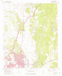 1973 Tupelo1975 Print · USGSTupelo and Lee County are captured here during a period of significant growth and rail-based industry in the early seventies. Genealogists and historians can trace family locations near Fellowship Ch, Beech Springs, or the Chickasaw Village Site.2 unique versions available
 - 1980 Map of Sherman, 1981 Print
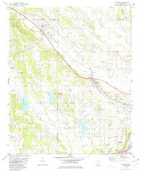 1980 Sherman1981 Print · USGSAs the Tupelo area expanded in the early eighties, this survey captures the rural character of the Lee, Union, and Pontotoc county lines. Genealogists and local historians can trace family plots at Union Cem or follow the old St Louis-San Francisco rail line through Sherman and Belden.
 - 1984 Map of Tupelo
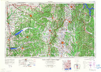 1984 Tupelo1984 Print · USGSNorth Mississippi in the 1980s is defined by its massive river basin reservoirs and the growing regional hubs of Tupelo and Oxford. Researchers can trace the legacy of the Pontotoc Ridge, find the University of Mississippi, and map early Interstate corridors near Sardis Lake.3 unique versions available
 - 1984 Map of Tupelo, 1985 Print
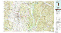 1984 Tupelo1985 Print · USGSNortheast Mississippi and the Alabama borderlands are shown in the mid-1980s as timber and river networks shaped the region. Trace local history through the Illinois Central Gulf rail line and sites like the Old Natchez Trace Parkway.
 - 1992 Map of Tupelo, 1995 Print
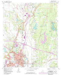 1992 Tupelo1995 Print · USGSTupelo and Saltillo are shown in the early nineties as the region balanced modern growth with its deep cultural roots. Trace family history and local landmarks through sites like the Chickasaw Village Site, Elvis Presley Lake, and the Tupelo National Battlefield.2 unique versions available
 - 2012 Map of Verona, 2012 Print
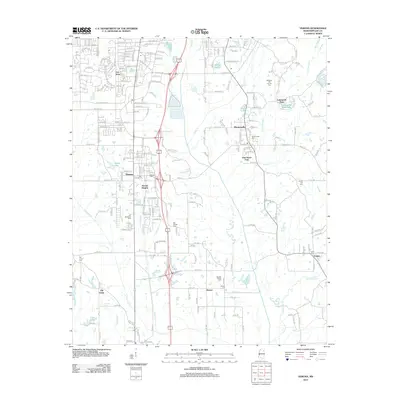 2012 Verona2012 Print · USGSThe southern outskirts of Tupelo are captured here in the early twenty-first century, showing the established communities of Verona and Plantersville. Genealogists and local historians can locate numerous family sites, including the English Family Cem, Old Union Cem, and Brewer.
 - 2012 Map of Bissell, 2012 Print
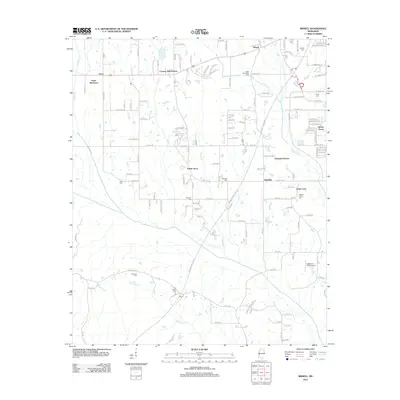 2012 Bissell2012 Print · USGSBissell and the Tupelo periphery are shown in the early 2010s as residential enclaves expanded across the Pontotoc and Lee County line. Genealogists can trace family heritage at the Mallory Family Cem, Old Coffee Cem, and Bass Cem.
 - 2012 Map of Tupelo, 2012 Print
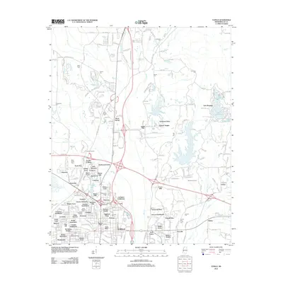 2012 Tupelo2012 Print · USGSLee County at the start of the twenty-first century shows a landscape of steady growth around the legendary Natchez Trace. Researchers can trace family roots through numerous burial sites like Priceville Cem or locate the Tupelo National Battlefield and Springhill Church.
 - 2012 Map of Sherman, 2012 Print
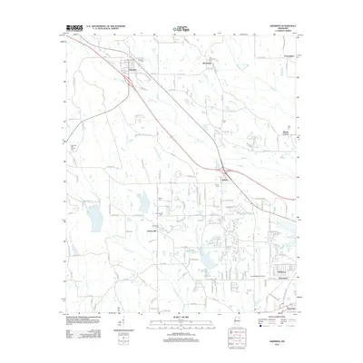 2012 Sherman2012 Print · USGSThe community of Sherman and the western outskirts of Tupelo are captured here in the early twenty-first century. Genealogists can trace family lines through numerous burial sites including Belden Cem, Maxey Cem, and Price Cem.
 - 2015 Map of Verona, 2015 Print
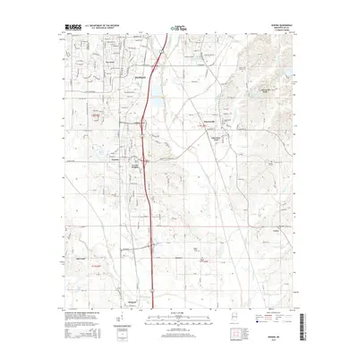 2015 Verona2015 Print · USGSTupelo and the surrounding Lee County communities are captured here in the mid-2010s as suburban expansion meets rural history. Researchers can find numerous family-named burial sites and local landmarks like the English Family Cemetery, Old Union, and Oak Grove Park.
 - 2015 Map of Bissell, 2015 Print
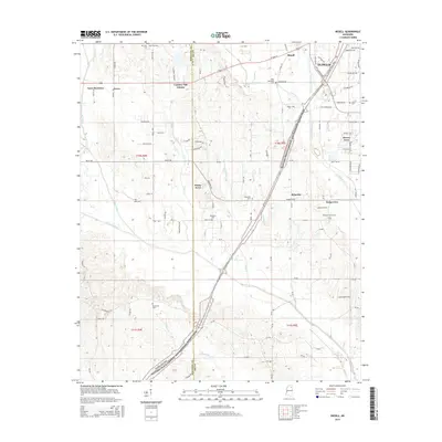 2015 Bissell2015 Print · USGSWestern Lee County in the mid-2010s shows the suburban expansion of Tupelo as it reaches toward the Natchez Trace Parkway. Genealogists can locate several family landmarks, including the Mallory Family Cem and the small settlement of Furrs.
 - 2015 Map of Sherman, 2015 Print
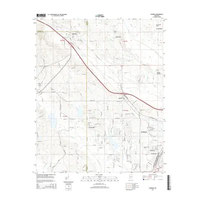 2015 Sherman2015 Print · USGSThe northwestern suburbs of Tupelo and the rural reaches of Lee County appear in detail during this mid-2010s survey. Genealogists and historians can trace family roots through numerous burial sites like Chesterville Cem and Price Cem, or locate the specific routes of Belden Pike and Highway 178.
 - 2015 Map of Tupelo, 2015 Print
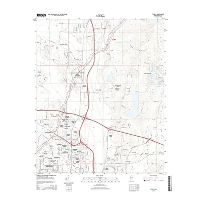 2015 Tupelo2015 Print · USGSTupelo and the surrounding Lee County countryside are documented here during a period of significant suburban expansion. Researchers can trace ancestral sites at Fellowship Cem and Shipley Cem or locate the historic Tupelo National Battlefield.
 - 2018 Map of Verona, 2018 Print
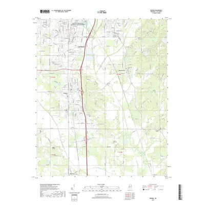 2018 Verona2018 Print · USGSLee County near the close of the 2010s reveals a landscape defined by the growth of Tupelo and its interconnected rail towns. Researchers can trace family history through numerous rural burial sites like Old Chapel Cem and Brewer Cem or follow the Kansas City Southern line.
 - 2018 Map of Tupelo, 2018 Print
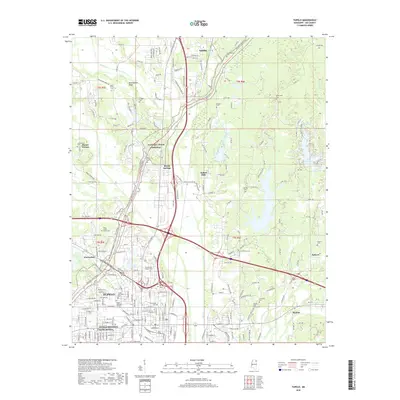 2018 Tupelo2018 Print · USGSTupelo and northern Lee County are shown in the late 2010s, capturing a landscape where Civil War history meets modern growth. Genealogists can trace family heritage through sites like Glenwood Cem and Shipley Cem near the Kansas City Southern rail line.
 - 2018 Map of Bissell, 2018 Print
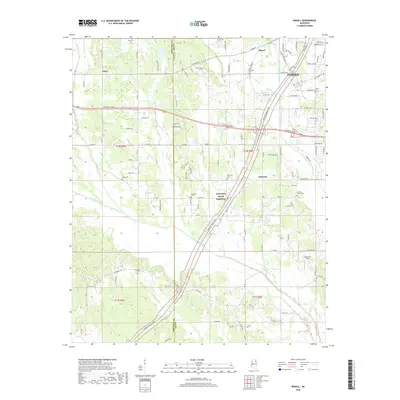 2018 Bissell2018 Print · USGSThe western outskirts of Tupelo and the rural stretches toward the Pontotoc County line are captured here in the late twenty-tens. Researchers can trace family history through numerous local sites including New Zion Cem, Old Coffee Cem, and the Mallory Family Cem.
 - 2018 Map of Sherman, 2018 Print
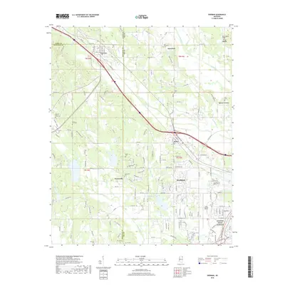 2018 Sherman2018 Print · USGSIn the hills northwest of Tupelo, this modern survey documents the evolving landscape where Lee, Pontotoc, and Union counties meet. Researchers can trace the proximity of legacy burial sites like Chesterville Cemetery and Sherman Cemetery to modern landmarks like the Tupelo Regional Airport.
 - 2021 Map of Bissell, 2021 Print
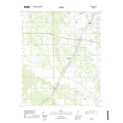 2021 Bissell2021 Print · USGSWestern Lee County and the outskirts of Tupelo are seen here in the early 2020s as suburban growth meets rural traditions. Family researchers can locate numerous historical burial sites like Old Coffee Cem and Mallory Family Cem near the Natchez Trace Pkwy.
Showing maps 1-25 of 32
Top cities near Tupelo
- Saltillo historical maps
- Verona historical maps
- Baldwyn historical maps
- Nettleton historical maps
- Shannon historical maps
- Guntown historical maps
See more
Top neighborhoods of Tupelo
- Lee Acres historical maps
- Belden historical maps
- Bissell historical maps
- Tracewood historical maps
- Flowerdale historical maps
- Foxmoor historical maps
See more
Frequently asked questions
- What are the different types of historical maps available for Tupelo?
- What is the oldest map of Tupelo?
- Where can I purchase historical maps of Tupelo for my home or office?
- Where can I download high-res historical maps of Tupelo?
- Are there historical topographic maps available for Tupelo?
- Is there historical aerial imagery available for Tupelo?
- Where are historical maps of Tupelo sourced from?