2000s (21st Century) Maps of Tupelo, Mississippi
Explore 20 historic maps of Tupelo from the 2000s (21st Century). These maps offer a rare glimpse into what life looked like during the 2000s — showing old roads, neighborhoods, homes, and landmarks that have changed or disappeared over time.
Whether you're researching your family's past, planning a metal detecting trip, or studying how Tupelo's landscape evolved across the 2000s, these high-resolution maps are a powerful tool for exploring the history of this region.
- Focus on a specific era: All maps on this page are from the 2000s, giving you a focused view of this time period.
- See what’s changed: Compare century-old streets, trails, and buildings to today's modern landscape using overlays and satellite layers.
- Research with precision: Use these maps for genealogy, historical research, land use analysis, or educational projects.
- View, download, or print: Maps are fully viewable online in high resolution, and can be downloaded or printed for your own records.
Start exploring Tupelo's history through authentic maps from the 2000s. This is your window into the past.
Tupelo, MS maps
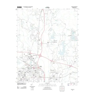
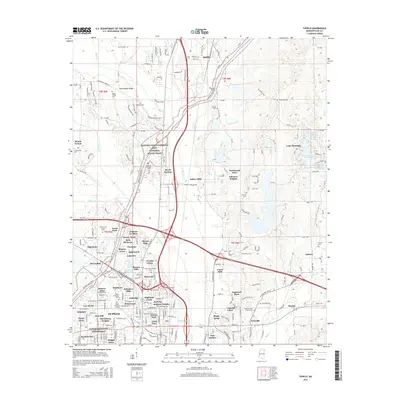
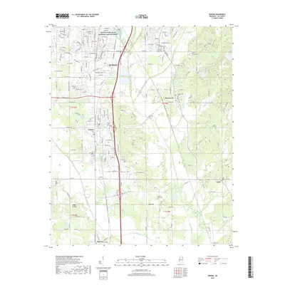
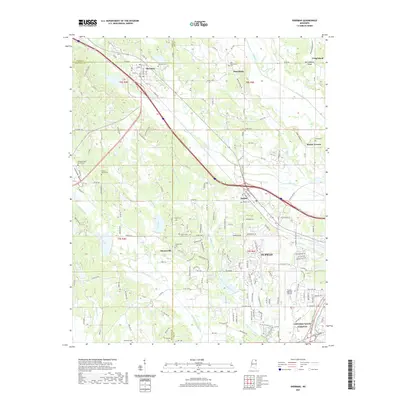
(20)- 2012 Map of Verona, 2012 Print
 2012 Verona2012 Print · USGSCovers Tupelo, including Verona, Shannon, and other nearby areas
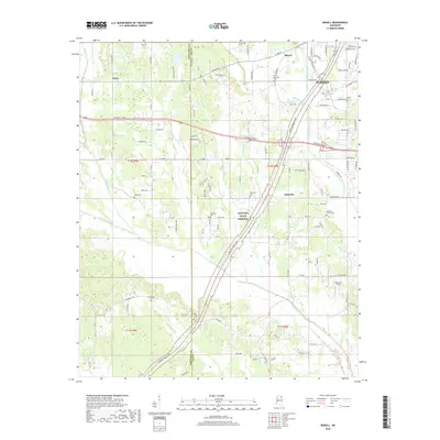
 - 2012 Map of Bissell, 2012 Print
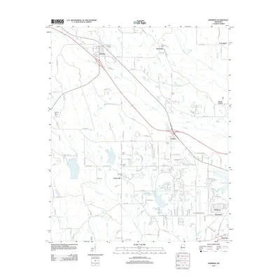
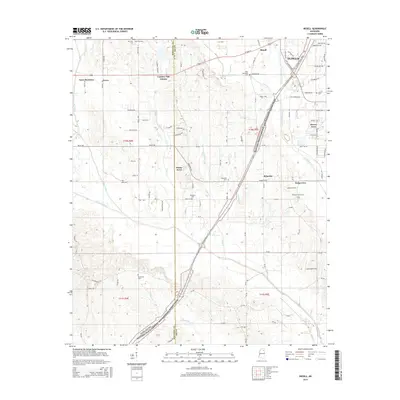
 2012 Bissell2012 Print · USGSCovers Tupelo, including Fawn Meadows, Furrs, and other nearby areas
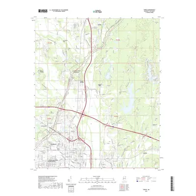
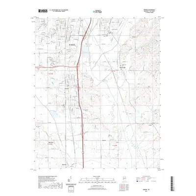
 - 2012 Map of Tupelo, 2012 Print
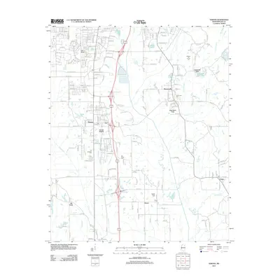
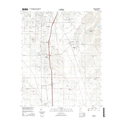
 2012 Tupelo2012 Print · USGSCovers Tupelo, including Saltillo, Johnson Heights, and other nearby areas
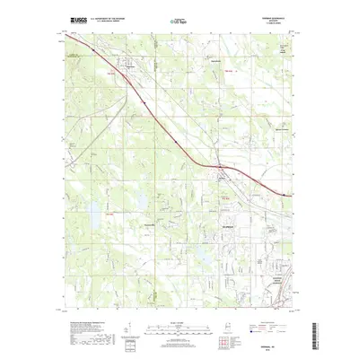
 - 2012 Map of Sherman, 2012 Print
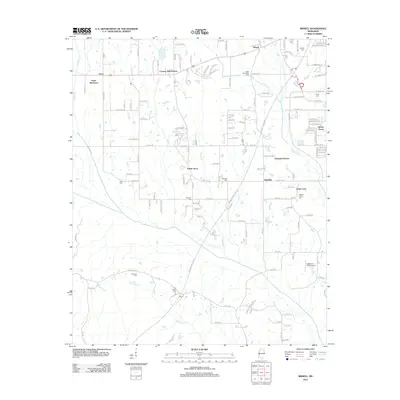
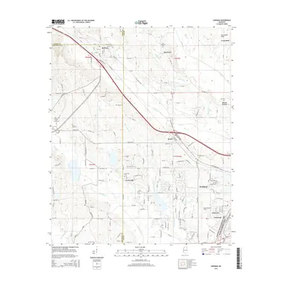
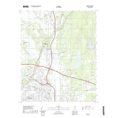
 2012 Sherman2012 Print · USGSCovers Tupelo, including Chesterville, Wildwood, and other nearby areas
 - 2015 Map of Verona, 2015 Print
 2015 Verona2015 Print · USGSCovers Tupelo, including Verona, Shannon, and other nearby areas
 - 2015 Map of Bissell, 2015 Print
 2015 Bissell2015 Print · USGSCovers Tupelo, including Fawn Meadows, Furrs, and other nearby areas
 - 2015 Map of Sherman, 2015 Print
 2015 Sherman2015 Print · USGSCovers Tupelo, including Chesterville, Wildwood, and other nearby areas
 - 2015 Map of Tupelo, 2015 Print
 2015 Tupelo2015 Print · USGSCovers Tupelo, including Saltillo, Johnson Heights, and other nearby areas
 - 2018 Map of Verona, 2018 Print
 2018 Verona2018 Print · USGSCovers Tupelo, including Verona, Shannon, and other nearby areas
 - 2018 Map of Tupelo, 2018 Print
 2018 Tupelo2018 Print · USGSCovers Tupelo, including Saltillo, Johnson Heights, and other nearby areas
 - 2018 Map of Bissell, 2018 Print
 2018 Bissell2018 Print · USGSCovers Tupelo, including Fawn Meadows, Furrs, and other nearby areas
 - 2018 Map of Sherman, 2018 Print
 2018 Sherman2018 Print · USGSCovers Tupelo, including Chesterville, Wildwood, and other nearby areas
 - 2021 Map of Bissell, 2021 Print
 2021 Bissell2021 Print · USGSCovers Tupelo, including Fawn Meadows, Furrs, and other nearby areas
 - 2021 Map of Sherman, 2021 Print
 2021 Sherman2021 Print · USGSCovers Tupelo, including Chesterville, Wildwood, and other nearby areas
 - 2021 Map of Verona, 2021 Print
 2021 Verona2021 Print · USGSCovers Tupelo, including Verona, Shannon, and other nearby areas
 - 2021 Map of Tupelo, 2021 Print
 2021 Tupelo2021 Print · USGSCovers Tupelo, including Saltillo, Johnson Heights, and other nearby areas
 - 2024 Map of Bissell, 2024 Print
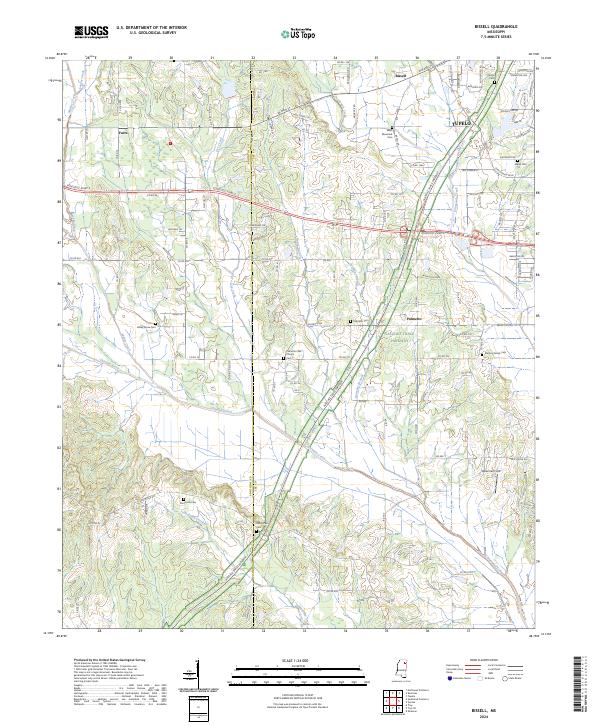 2024 Bissell2024 Print · USGSLee County's rural transitions and the western outskirts of Tupelo are captured in this recent survey. Researchers can trace historic family burial sites like Old Coffee Cem and Mallory Family Cem near the Natchez Trace Parkway.
 - 2024 Map of Sherman, 2024 Print
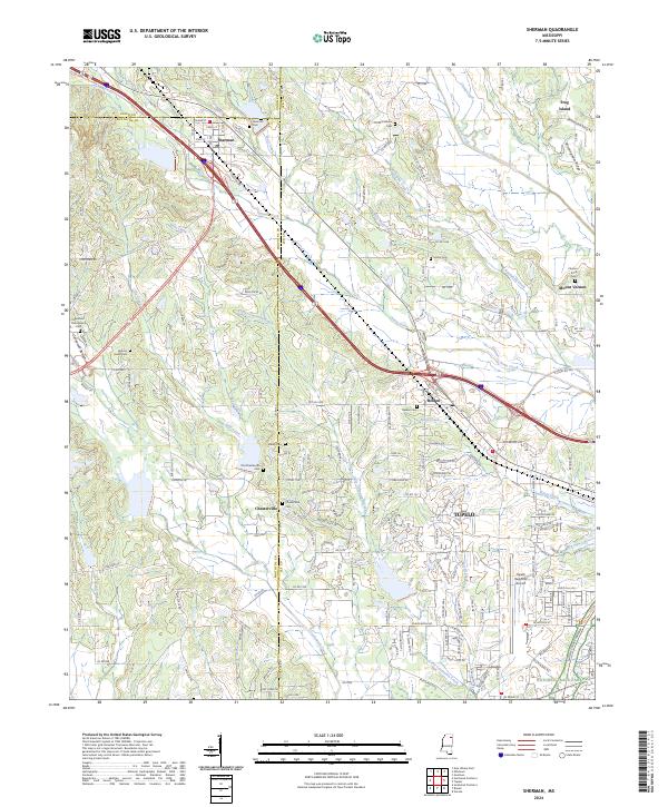 2024 Sherman2024 Print · USGSNortheast Mississippi’s hill country and evolving urban fringes come into focus as the borders of three counties meet. Genealogists can trace local lineages through family burial sites like Clayton Price Cem and Maxey Cem while following the path of the Natchez Trace Parkway.
 - 2024 Map of Verona, 2024 Print
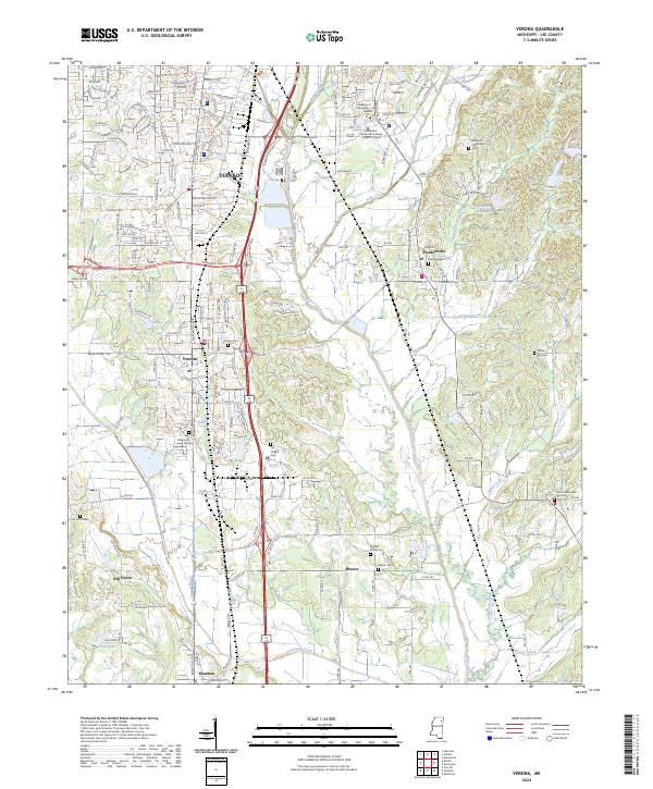 2024 Verona2024 Print · USGSThe southern outskirts of Tupelo and the surrounding Lee County countryside are documented here in the early twenty-first century. Genealogists and local historians can locate numerous small burial grounds, including the English Family Cemetery, Old Chapel Cemetery, and Verona Cemetery.
 - 2024 Map of Tupelo, 2024 Print
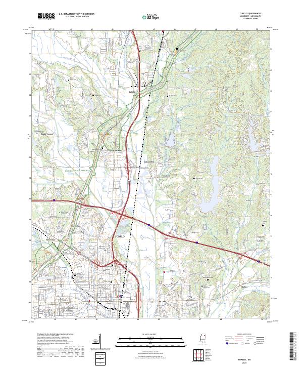 2024 Tupelo2024 Print · USGSLee County at the present day reflects a deep intersection of Civil War heritage and modern Mississippi life. Genealogists and historians can locate numerous family burial sites like Bolin Family Cem and Shipley Cem, or trace the grounds of the Tupelo National Battlefield and the iconic Natchez Trace Parkway.
End of results
Showing maps 1-20 of 20
Top cities near Tupelo
- Saltillo historical maps
- Verona historical maps
- Baldwyn historical maps
- Nettleton historical maps
- Shannon historical maps
- Guntown historical maps
See more
Top neighborhoods of Tupelo
- Lee Acres historical maps
- Belden historical maps
- Bissell historical maps
- Tracewood historical maps
- Flowerdale historical maps
- Foxmoor historical maps
See more
Frequently asked questions
- What are the different types of historical maps available for Tupelo?
- What is the oldest map of Tupelo?
- Where can I purchase historical maps of Tupelo for my home or office?
- Where can I download high-res historical maps of Tupelo?
- Are there historical topographic maps available for Tupelo?
- Is there historical aerial imagery available for Tupelo?
- Where are historical maps of Tupelo sourced from?