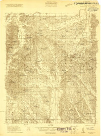
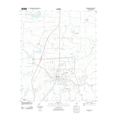
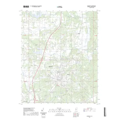
1921 Map of Booneville
USGS Topo · Published 1921About this map
Booneville serves as the focal point of this 1920s survey, situated along the Mobile and Ohio RR as it traverses the northeast Mississippi landscape. The map reveals a dense network of early 20th-century rural infrastructure, characterized by an exceptionally high concentration of small community schools and churches such as Carolina School, Gaston Church, and Dalton School. This pattern of development illustrates a decentralized agrarian society where social life revolved around these local institutions.
Find a feature on this map
74 named features on this map. Tap any name to fly to it.
Don’t see what you’re looking for? This feature index may not catch every label — zoom into the map to look around manually.
Map Details
Editions of this 1921 Booneville Map
2 editions found
Historical Maps of Booneville Through Time
9 maps found
1921 Booneville
Prentiss County, MS
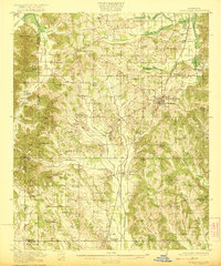
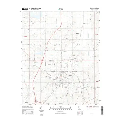
1922 Booneville
Prentiss County, MS
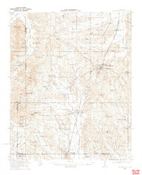
1973 Booneville
Prentiss County, MS
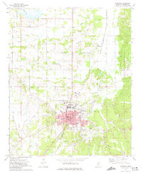
2012 Booneville
Prentiss County, MS
2015 Booneville
Prentiss County, MS
2018 Booneville
Prentiss County, MS
2020 Booneville
Prentiss County, MS
2023 Booneville
Prentiss County, MS
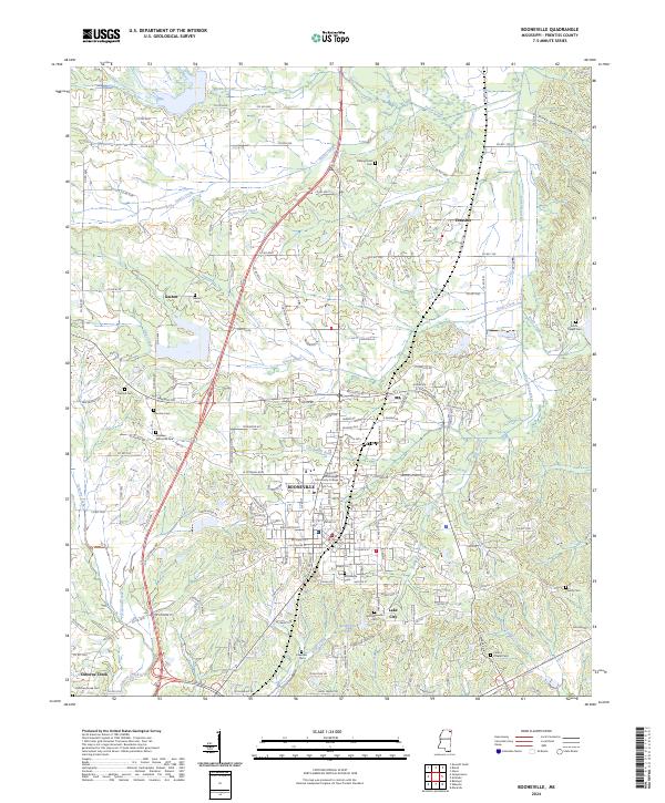
2024 Booneville
Prentiss County, MS