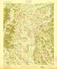
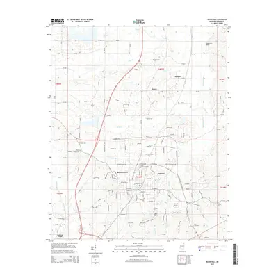
1922 Map of Booneville
USGS Topo · Published 1922About this map
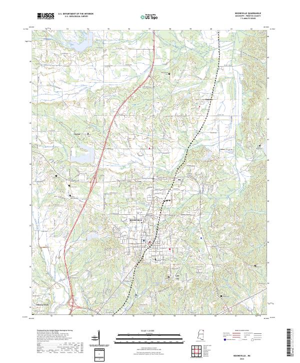
Booneville serves as the central hub of this 1920s landscape, positioned along the vital corridor of the Mobile and Ohio RR. The surrounding terrain is defined by a dense network of country schools and churches that speak to the established rural communities of the era, such as the Dalton School and Gaston Church. The map illustrates a transition from the western uplands, including Kitchen Mtn and Geeville Mtn, toward the fertile bottomlands of Twentymile Creek and the Tuscumbia River.
Find a feature on this map
69 named features on this map. Tap any name to fly to it.
Don’t see what you’re looking for? This feature index may not catch every label — zoom into the map to look around manually.
Map Details
Editions of this 1922 Booneville Map
This is the sole edition of this map. No revisions or reprints were ever made.
Historical Maps of Booneville Through Time
9 maps found
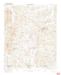
1921 Booneville
Prentiss County, MS
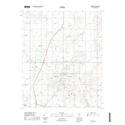
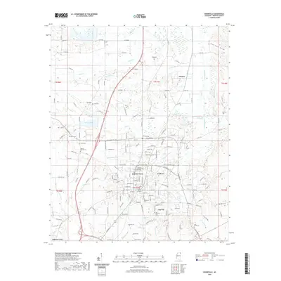
1922 Booneville
Prentiss County, MS
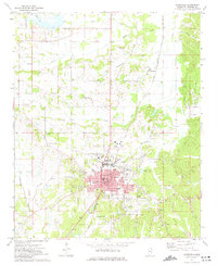
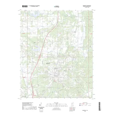
1973 Booneville
Prentiss County, MS
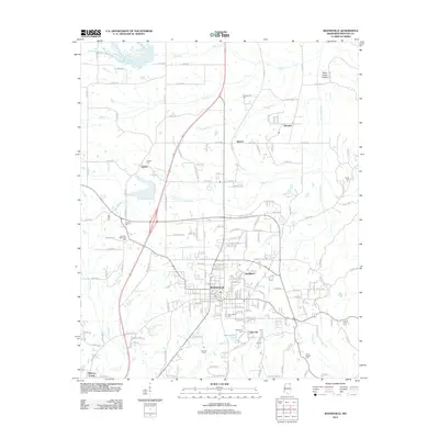
2012 Booneville
Prentiss County, MS
2015 Booneville
Prentiss County, MS
2018 Booneville
Prentiss County, MS
2020 Booneville
Prentiss County, MS
2023 Booneville
Prentiss County, MS
2024 Booneville
Prentiss County, MS