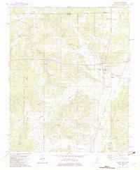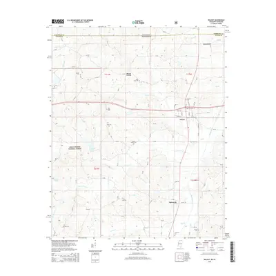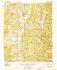
1951 Map of Walnut
USGS Topo · Published 1953About this map
Gulf Mobile and Ohio rail lines run north-south through this borderland region, connecting the rural communities of Walnut and Falkner. The landscape is a dense network of creek valleys including Muddy Creek and the Hatchie River, which define the agricultural and timbered character of the terrain. The map reveals a high concentration of community centers anchored by country churches and schools, such as Mt Zion Ch, Ruckerville Ch, and the Mathis Sch. In the southern reaches, family-named landmarks like Lindsey Mtn and Wicker Mtn rise above the drainage of Fourmile Branch. The survey captures the social geography of the early 1950s, where small settlements like Chalybeate and Tiplersville served as local hubs before the consolidation of rural infrastructure, and river crossings like Weldon Bridge remained vital for local transit.
Find a feature on this map
121 named features on this map. Tap any name to fly to it.
Don’t see what you’re looking for? This feature index may not catch every label — zoom into the map to look around manually.
Map Details
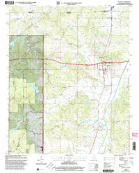
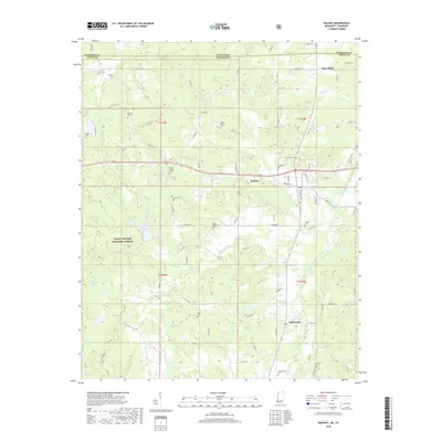
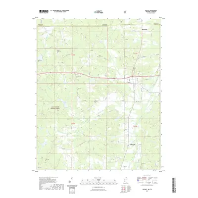
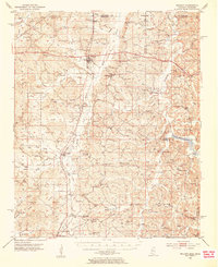
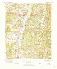
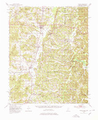
Editions of this 1951 Walnut Map
4 editions found
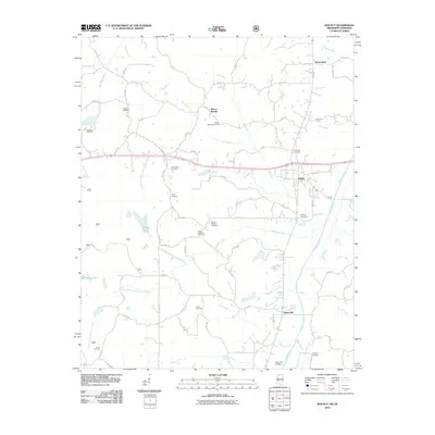
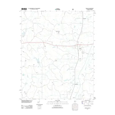
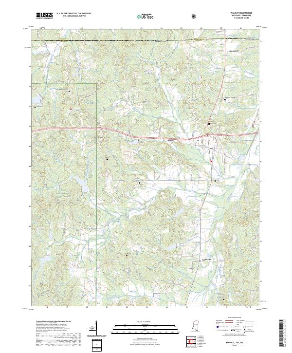
Historical Maps of Ripley Through Time
9 maps found